

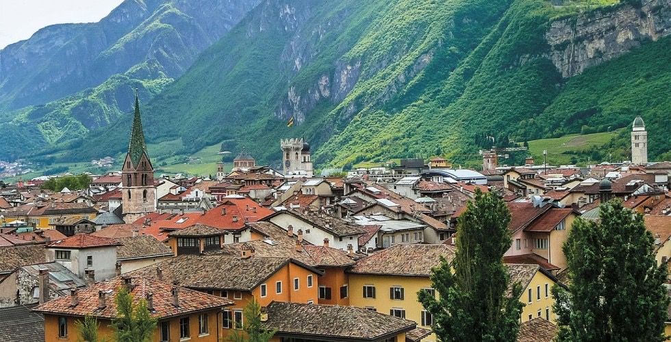
Bozen-Mendel-Ulten
A cycling route starting in Bolzano, Trentino-Alto Adige, Italy.
Overview
About this route
Start Bozen in Richtung Mendelpass, weiter nach Fondo, Laurein über die Forcola di Brez, Proveis, Ultental, Lana und retour nach Bozen, wenig Autoverkehr, außer Mendelpass
- -:--
- Duration
- 111.1 km
- Distance
- 2,527 m
- Ascent
- 2,522 m
- Descent
- ---
- Avg. speed
- ---
- Avg. speed
Route quality
Waytypes & surfaces along the route
Waytypes
Busy road
56 km
(50 %)
Cycleway
19.5 km
(18 %)
Surfaces
Paved
68.9 km
(62 %)
Unpaved
2.9 km
(3 %)
Asphalt
68.6 km
(62 %)
Gravel
2.2 km
(2 %)
Continue with Bikemap
Use, edit, or download this cycling route
You would like to ride Bozen-Mendel-Ulten or customize it for your own trip? Here is what you can do with this Bikemap route:
Free features
- Save this route as favorite or in collections
- Copy & plan your own version of this route
- Sync your route with Garmin or Wahoo
Premium features
Free trial for 3 days, or one-time payment. More about Bikemap Premium.
- Navigate this route on iOS & Android
- Export a GPX / KML file of this route
- Create your custom printout (try it for free)
- Download this route for offline navigation
Discover more Premium features.
Get Bikemap PremiumFrom our community
Other popular routes starting in Bolzano
 CULTURBIKE - Kulturradfahren
- Distance
- 101.1 km
- Ascent
- 600 m
- Descent
- 672 m
- Location
- Bolzano, Trentino-Alto Adige, Italy
 Bolzano to Trento - etappe 3 tdf 2025
- Distance
- 73.5 km
- Ascent
- 663 m
- Descent
- 612 m
- Location
- Bolzano, Trentino-Alto Adige, Italy
 Viale Venezia, Bolzano a Viale Venezia, Bolzano
- Distance
- 44.2 km
- Ascent
- 451 m
- Descent
- 450 m
- Location
- Bolzano, Trentino-Alto Adige, Italy
 penser joch-jaufenpass
- Distance
- 147.5 km
- Ascent
- 3,039 m
- Descent
- 3,051 m
- Location
- Bolzano, Trentino-Alto Adige, Italy
 2025_EN_Bolzano-Trento | flat
- Distance
- 65.8 km
- Ascent
- 185 m
- Descent
- 259 m
- Location
- Bolzano, Trentino-Alto Adige, Italy
 Bolzano - Stelvio 2/7
- Distance
- 145.7 km
- Ascent
- 3,658 m
- Descent
- 3,657 m
- Location
- Bolzano, Trentino-Alto Adige, Italy
 5_Bolzano - Caprile
- Distance
- 126.5 km
- Ascent
- 5,049 m
- Descent
- 4,318 m
- Location
- Bolzano, Trentino-Alto Adige, Italy
 2025_EN_Bolzano-Trento | hilly
- Distance
- 72 km
- Ascent
- 467 m
- Descent
- 536 m
- Location
- Bolzano, Trentino-Alto Adige, Italy
Open it in the app