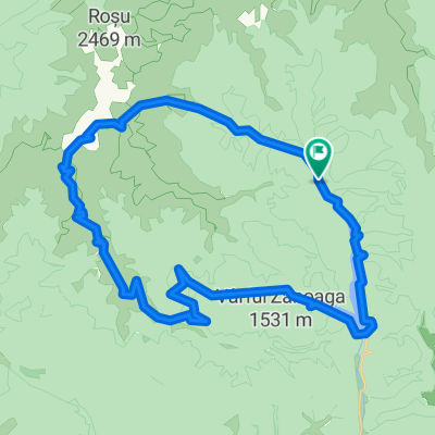
Cycling Route in Rucăr, Judeţul Argeş, Romania
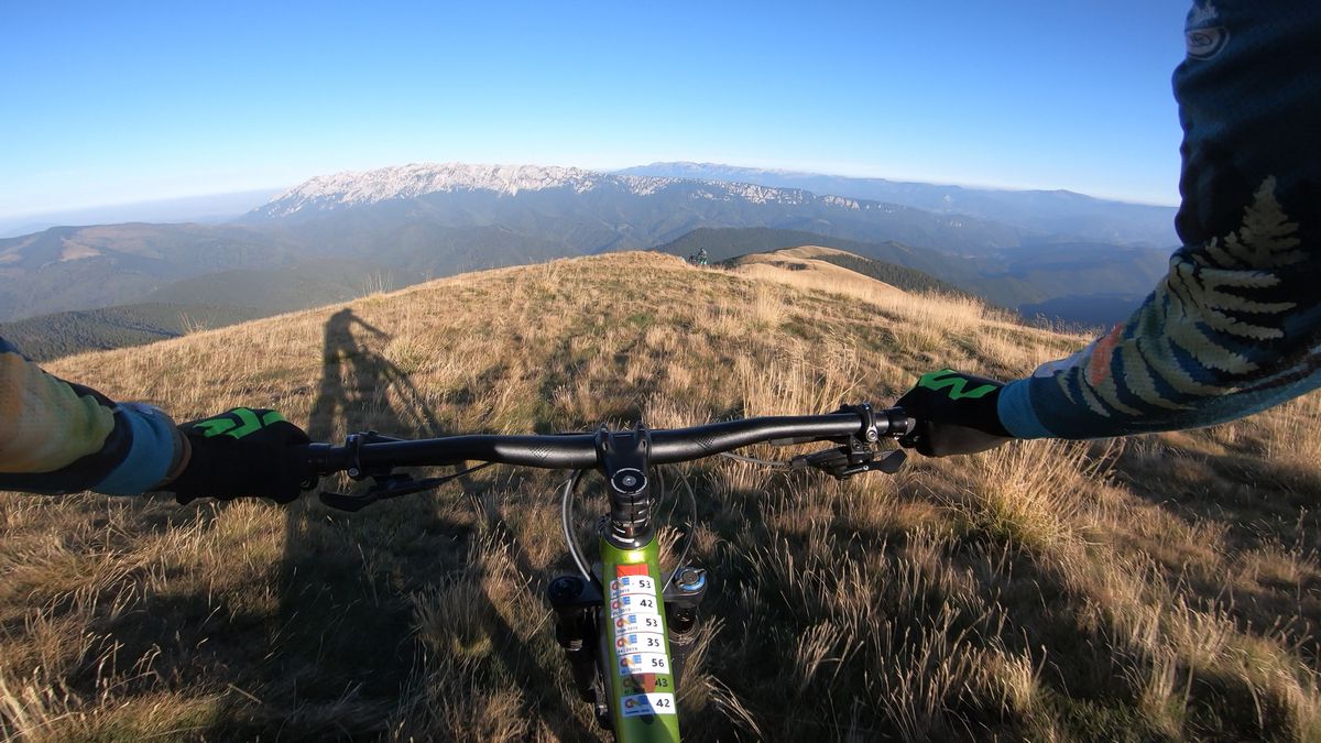
Enduro mtb trail in Iezer-Papusa mountains
1

Open this route in the Bikemap app

Open this route in Bikemap Web
45
km
Distance
Distance
1768
m
Ascent
Ascent
1767
m
Descent
Descent
-:--
h
Duration
Duration
--
km/h
Avg. Speed
Avg. Speed
2134
m
Max. Elevation
Max. Elevation


