

Kastelruth St. Ulrich Rundi
A cycling route starting in Kastelruth, Trentino-Alto Adige, Italy.
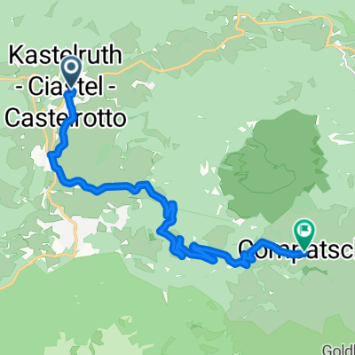
Overview
About this route
Technisch anspruchsvoller Anfang mit steilen Rampen im Wald. Ansonsten sehr schöne Strecke. Passo Pinei bis Digon auf Hauptstrasse.
V.a. Rückfahrt sehr schöne Flowstrecke.
Insgesamt konditionell anspruchsvoll, technisch wenig schwierigkeiten, sehr schön und wenig befahren.
- -:--
- Duration
- 30.2 km
- Distance
- 1,115 m
- Ascent
- 1,187 m
- Descent
- ---
- Avg. speed
- 1,470 m
- Avg. speed

Continue with Bikemap
Use, edit, or download this cycling route
You would like to ride Kastelruth St. Ulrich Rundi or customize it for your own trip? Here is what you can do with this Bikemap route:
Free features
- Save this route as favorite or in collections
- Copy & plan your own version of this route
- Sync your route with Garmin or Wahoo
Premium features
Free trial for 3 days, or one-time payment. More about Bikemap Premium.
- Navigate this route on iOS & Android
- Export a GPX / KML file of this route
- Create your custom printout (try it for free)
- Download this route for offline navigation
Discover more Premium features.
Get Bikemap PremiumFrom our community
Other popular routes starting in Kastelruth
 Castellrotto-Alpe de Siusi-St. Christina-Castellrotto
- Distance
- 36.4 km
- Ascent
- 1,453 m
- Descent
- 1,323 m
- Location
- Kastelruth, Trentino-Alto Adige, Italy
 11.7. - Kastelruth - Weisslahnbad
- Distance
- 51.1 km
- Ascent
- 1,088 m
- Descent
- 1,089 m
- Location
- Kastelruth, Trentino-Alto Adige, Italy
 Telfen 58, Telfen-Lanzin do Telfen-Lanzin 59a, Castelrotto
- Distance
- 14 km
- Ascent
- 1 m
- Descent
- 77 m
- Location
- Kastelruth, Trentino-Alto Adige, Italy
 seiser alm
- Distance
- 22.2 km
- Ascent
- 774 m
- Descent
- 778 m
- Location
- Kastelruth, Trentino-Alto Adige, Italy
 CASTELROTTO-ALPE DI SIUSI
- Distance
- 79.7 km
- Ascent
- 1,799 m
- Descent
- 1,796 m
- Location
- Kastelruth, Trentino-Alto Adige, Italy
 2016 Giro D'Italia Stage 15
- Distance
- 11.1 km
- Ascent
- 819 m
- Descent
- 29 m
- Location
- Kastelruth, Trentino-Alto Adige, Italy
 Ortisei Scigliar Castelrotto da fare al contrario
- Distance
- 51.3 km
- Ascent
- 1,434 m
- Descent
- 1,440 m
- Location
- Kastelruth, Trentino-Alto Adige, Italy
 Kastelruth-Panorama
- Distance
- 40.5 km
- Ascent
- 1,233 m
- Descent
- 1,233 m
- Location
- Kastelruth, Trentino-Alto Adige, Italy
Open it in the app