
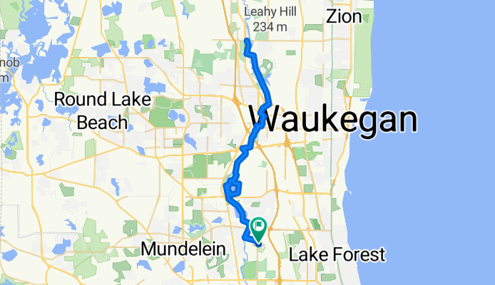
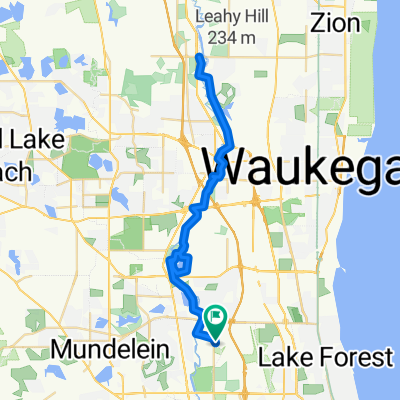
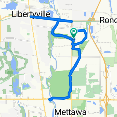
DRT Old School FP to Wadsworth Rd & back
A cycling route starting in Green Oaks, Illinois, United States of America.
Overview
About this route
Route goes from Old School Forest preserve in Libertyville north up the DesPlaines River Trail around Independence Grove Forest Preserve and continuing north to the Mobil station off Wadsworth road. Route returns south through Independence Grove (not around same course) and back to Old School.
- -:--
- Duration
- 52.7 km
- Distance
- 107 m
- Ascent
- 107 m
- Descent
- ---
- Avg. speed
- ---
- Avg. speed

Route quality
Waytypes & surfaces along the route
Waytypes
Path
49.5 km
(94 %)
Pedestrian area
1.8 km
(3 %)
Surfaces
Paved
2 km
(4 %)
Unpaved
48.5 km
(92 %)
Gravel
48.5 km
(92 %)
Paved (undefined)
1.7 km
(3 %)
Continue with Bikemap
Use, edit, or download this cycling route
You would like to ride DRT Old School FP to Wadsworth Rd & back or customize it for your own trip? Here is what you can do with this Bikemap route:
Free features
- Save this route as favorite or in collections
- Copy & plan your own version of this route
- Sync your route with Garmin or Wahoo
Premium features
Free trial for 3 days, or one-time payment. More about Bikemap Premium.
- Navigate this route on iOS & Android
- Export a GPX / KML file of this route
- Create your custom printout (try it for free)
- Download this route for offline navigation
Discover more Premium features.
Get Bikemap PremiumFrom our community
Other popular routes starting in Green Oaks
 DRT Old School FP to Wadsworth Rd & back
- Distance
- 52.7 km
- Ascent
- 107 m
- Descent
- 107 m
- Location
- Green Oaks, Illinois, United States of America
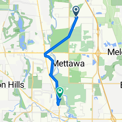 Short ride from Mettawa to Half Day
- Distance
- 7.9 km
- Ascent
- 41 m
- Descent
- 52 m
- Location
- Green Oaks, Illinois, United States of America
 Biking home from work!
- Distance
- 38.9 km
- Ascent
- 55 m
- Descent
- 79 m
- Location
- Green Oaks, Illinois, United States of America
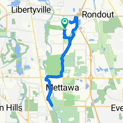
 28201 N St Mary's Rd, Mettawa to 28201 N St Mary's Rd, Libertyville
- Distance
- 22.2 km
- Ascent
- 89 m
- Descent
- 89 m
- Location
- Green Oaks, Illinois, United States of America
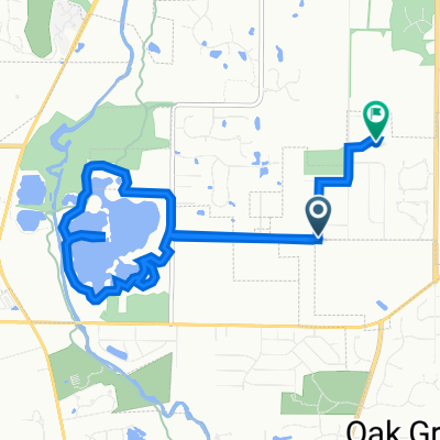 2203 Irondale Rd, Green Oaks to 14855 Creekside Path, Green Oaks
- Distance
- 9.7 km
- Ascent
- 38 m
- Descent
- 32 m
- Location
- Green Oaks, Illinois, United States of America
 14707 W Rockland Rd, Libertyville to South Vernon Hills, Vernon Hills
- Distance
- 10.8 km
- Ascent
- 445 m
- Descent
- 463 m
- Location
- Green Oaks, Illinois, United States of America
 DPR trail
- Distance
- 18.4 km
- Ascent
- 104 m
- Descent
- 104 m
- Location
- Green Oaks, Illinois, United States of America
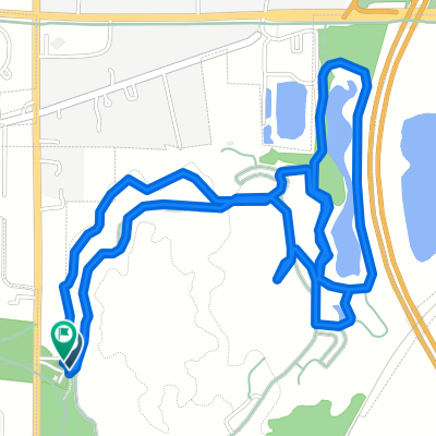 day one habi
- Distance
- 5.2 km
- Ascent
- 103 m
- Descent
- 101 m
- Location
- Green Oaks, Illinois, United States of America
Open it in the app