


michal_niklas
- Time on Bikemap
- Member since 10/9/2010
My routes
Planned and recorded rides


Collections and multi-stage tours
 Collection
Discover
My most popular routes


Podansko i Krolewskie Zrodlo
Cycling route in Goleniów, West Pomeranian Voivodeship, Poland
A short trip from Goleniów, where you can visit the recently renovated church in Podąńsko, the old cemetery in Podańsko, and then ride along a charming route with the Ina River on the side to visit the Royal Spring. The Goleniów-Podańsko segment first follows a bike path along the former railway ro…
- 12.2 km
- Distance
- 68 m
- Ascent
- 66 m
- Descent


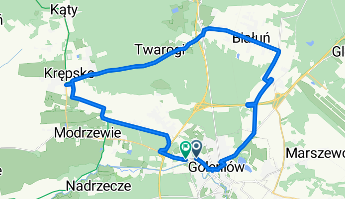
Goleniów-Żółwia Błoć-Miękowo-Krępsko-Goleniów
Cycling route in Goleniów, West Pomeranian Voivodeship, Poland
W Goleniowie: Brama Wolińska i MiG-21 na pomniku, potem koło wieży ciśnień i szpitala ścieżką rowerową do Żółwiej Błoci. Tu można jechać asfaltem, ale wybrałem nieco bardziej terenową trasę z przejazdem pod S6. W Żółwiej Błoci przybijamy "żółwika" i jedziemy dalej prz…
- 24.6 km
- Distance
- 84 m
- Ascent
- 82 m
- Descent


Pętla Goleniów-Podańsko-Bolechowo
Cycling route in Goleniów, West Pomeranian Voivodeship, Poland
Klasyczna podgoleniowska pętla. Sam asfalt, czasem z dziurami. W Podańsku łądny kościół. Przy Tarnówku ruiny wieży kościelnej. W Bolechowie poniemiemcki cmentarz, siłownia "pod chmurką" i kilka starych chałup. Ładny, bukowy las między Bolechowem, a Goleniowem. Jak ktoś lubi …
- 17 km
- Distance
- 131 m
- Ascent
- 131 m
- Descent


Święta - bunkry
Cycling route in Police, West Pomeranian Voivodeship, Poland
A trip among beautiful nature, navigable ponds, and bunkers. Sometimes the terrain is difficult. It is best to ride a mountain bike. On the way, there are a few geocaches.
- 18.2 km
- Distance
- 43 m
- Ascent
- 45 m
- Descent