
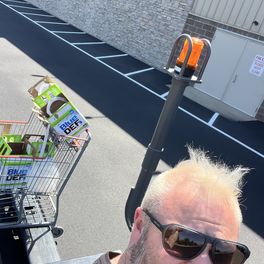

Nah
- Time on Bikemap
- Member since 4/23/2024
My routes
Planned and recorded rides

Discover
My most popular routes

W 160th Ave, Broomfield to W 165th Ln, Broomfield
Cycling route in Lafayette, Colorado, United States
Embark on an exhilarating cycling adventure that spans 7.3 kilometers through breathtaking terrain. This route offers a delightful mix of gentle ascents and exhilarating descents, perfect for those seeking a dynamic ride. Begin your journey with a gradual climb of 56 meters, gradually building your…
- 7.3 km
- Distance
- 57 m
- Ascent
- 32 m
- Descent
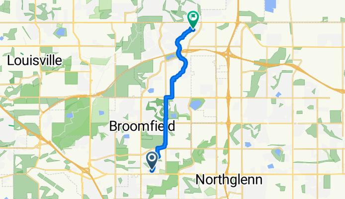
W 121st Ave, Broomfield to W 165th Ln, Broomfield
Cycling route in Broomfield, Colorado, United States
Embark on an exhilarating cycling adventure through scenic landscapes, starting and ending at the picturesque town of [Start Point]. The route spans a distance of 12.5 km, presenting a delightful mix of gentle hills and thrilling descents. With an ascent of 54 meters and a descent of 47 meters, thi…
- 12.5 km
- Distance
- 55 m
- Ascent
- 47 m
- Descent
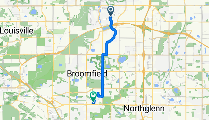
Preble Creek Pkwy, Broomfield to W 121st Ave, Broomfield
Cycling route in Lafayette, Colorado, United States
Embark on an exhilarating 11.4 km cycling adventure through scenic landscapes, featuring an ascent of 38 meters and a thrilling descent of 55 meters. The route reaches its highest point at 1639 meters, offering breathtaking views and a well-balanced mix of terrain. Enjoy the thrill of pedaling whil…
- 11.4 km
- Distance
- 39 m
- Ascent
- 55 m
- Descent

Sheridan Pkwy, Broomfield to Washington St, Thornton
Cycling route in Lafayette, Colorado, United States
Embark on a scenic 3.9 km cycling adventure that will challenge and delight. Begin your journey at a moderate elevation of 1618 meters, offering a stunning view. As you pedal along, enjoy a gentle ascent of 12 meters, followed by a delightful descent of 44 meters.
The route features a mix of pav…
- 3.9 km
- Distance
- 13 m
- Ascent
- 45 m
- Descent