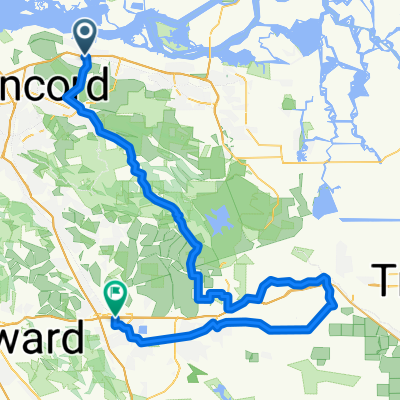
Cycling Route in Bay Point, California, United States of America
Pittsburg, CA BART Station to West Sacramento
0

Open this route in the Bikemap app

Open this route in Bikemap Web
101
km
Distance
Distance
58
m
Ascent
Ascent
112
m
Descent
Descent
-:--
h
Duration
Duration
--
km/h
Avg. Speed
Avg. Speed
---
m
Max. Elevation
Max. Elevation