
My saved routes
A collection of 7 cycling routes, created by Heije.
Overview
About this collection
This collection contains all routes that were previously saved.
- 7
- Routes
- -:--
- Duration
- 440.4 km
- Distance
- ---
- Avg. speed
- 2,566 m
- Ascent
- 2,559 m
- Descent
created this 9 years ago
My saved routes
Routes in this collection
All 7 routes in this collection can be opened on the map or in the Bikemap App for more details, where you can adjust them in the route planner, or download them as GPX or KML file. Use them as a template for planning your own rides, or let Bikemap navigate you along them directly.

Kreuzeiche passiert
Cycling route in Kirchhain, Hesse, Germany
- 54.9 km
- Distance
- 287 m
- Ascent
- 286 m
- Descent

Rennstrecke-Burgwald
Cycling route in Kirchhain, Hesse, Germany
- 68.1 km
- Distance
- 244 m
- Ascent
- 244 m
- Descent

Oberhessische Hügeltour
Cycling route in Kirchhain, Hesse, Germany
- 82.9 km
- Distance
- 599 m
- Ascent
- 599 m
- Descent

Großseelheim-Gladenbach-Göttingen
Cycling route in Kirchhain, Hesse, Germany
- 73.4 km
- Distance
- 458 m
- Ascent
- 453 m
- Descent

Rund um Marburg
Cycling route in Kirchhain, Hesse, Germany
- 52.5 km
- Distance
- 391 m
- Ascent
- 391 m
- Descent

Ohmtal+Ebsdorfergrund
Cycling route in Kirchhain, Hesse, Germany
- 59.1 km
- Distance
- 337 m
- Ascent
- 337 m
- Descent
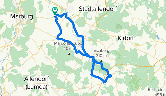
Ohmtal-Acht
Cycling route in Amöneburg, Hesse, Germany
- 49.5 km
- Distance
- 250 m
- Ascent
- 249 m
- Descent