
My saved routes
A collection of 14 cycling routes, created by Norman.OverviewAbout this collection
This collection contains all routes that were previously saved.
- 14
- Routes
- -:--
- Duration
- 1,931.1 km
- Distance
- ---
- Avg. speed
- 3,284 m
- Ascent
- 3,210 m
- Descent
Normancreated this 9 years ago

Winona to Northfield
Cycling route in Goodview, Minnesota, United States
Will Try and Use this off the River Route To Glenwood
- 152.5 km
- Distance
- 549 m
- Ascent
- 467 m
- Descent

Tenative Rochester Route-No Proven
Cycling route in Glenwood, Minnesota, United States
Route Tenatively laid out, not proven as of yet. From Pine Island to Rochester, Douglas State Trail.
- 376.1 km
- Distance
- 228 m
- Ascent
- 322 m
- Descent

Day 7 Memphis Mo - Maccomb
Cycling route in Memphis, Missouri, United States
- 142 km
- Distance
- 207 m
- Ascent
- 224 m
- Descent

Day 8 Maccomb - Lincoln
Cycling route in Macomb, Illinois, United States
49.6 miles to Jct Hwy 10 South
- 132.3 km
- Distance
- 124 m
- Ascent
- 152 m
- Descent

Day 9 - Lincoln, Il - Stewardson Il
Cycling route in Lincoln, Illinois, United States
33.1 miles to Weldon
- 158.9 km
- Distance
- 137 m
- Ascent
- 121 m
- Descent

Day 10 Stewardson, Il -Mill Shoals
Cycling route in Neoga, Illinois, United States
Flora - 50 Miles
- 133.5 km
- Distance
- 143 m
- Ascent
- 221 m
- Descent

Day 11 - Mill Shoals Il - Need to EDIT
Cycling route in Fairfield, Illinois, United States
Hwy 1 - 20.2 miles
Hwy 13 - 36.7 miles
Kentucky Border - 45.6 miles
- 136.4 km
- Distance
- 283 m
- Ascent
- 276 m
- Descent

Day 10
Cycling route in West Helena, Arkansas, United States
Day 10 - 5th August
West Helena, Arkansas to
Sheridan, Arkansa
- 191.5 km
- Distance
- 107 m
- Ascent
- 81 m
- Descent

Day 11
Cycling route in Sheridan, Arkansas, United States
Day 11 - 6th August
Sheridan, Arkansas
Big Fork, Arkansas
- 166.7 km
- Distance
- 597 m
- Ascent
- 364 m
- Descent
104B 18-55-29-104-bome
Cycling route in Glenwood, Minnesota, United States
- 46.6 km
- Distance
- 132 m
- Ascent
- 132 m
- Descent

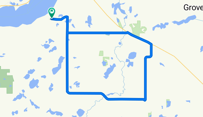
104-B Sedan-Grove Lake-Bike Trail-Home
Cycling route in Glenwood, Minnesota, United States
Nice Ride
- 73.4 km
- Distance
- 169 m
- Ascent
- 169 m
- Descent
