
My saved routes
A collection of 9 cycling routes, created by Realsly.
Overview
About this collection
This collection contains all routes that were previously saved.
- 9
- Routes
- -:--
- Duration
- 600.1 km
- Distance
- ---
- Avg. speed
- 10,077 m
- Ascent
- 9,869 m
- Descent
created this 9 years ago
My saved routes
Routes in this collection
All 9 routes in this collection can be opened on the map or in the Bikemap App for more details, where you can adjust them in the route planner, or download them as GPX or KML file. Use them as a template for planning your own rides, or let Bikemap navigate you along them directly.

Tossa Nordküstentour CLONED FROM ROUTE 356794
Cycling route in Tossa de Mar, Catalonia, Spain
- 131.6 km
- Distance
- 1,058 m
- Ascent
- 1,062 m
- Descent

ES_Benagalbon-El Borge-Cutar-Benamagosa-Benamocarra-Cajiz-Benajarafe
Cycling route in Valdés, Andalusia, Spain
- 72.4 km
- Distance
- 2,202 m
- Ascent
- 2,203 m
- Descent
Velez - Canillas de Aceituno - Arenas
Cycling route in Valdés, Andalusia, Spain
- 85.5 km
- Distance
- 977 m
- Ascent
- 977 m
- Descent

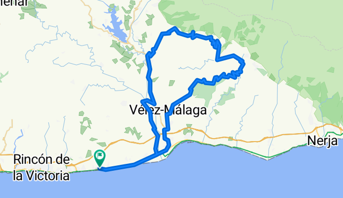
ES_Rincon-Totalan-Comares-Benamocarra-Iznate-Benajarafe
Cycling route in Rincón de la Victoria, Andalusia, Spain
- 116.6 km
- Distance
- 3,085 m
- Ascent
- 3,056 m
- Descent
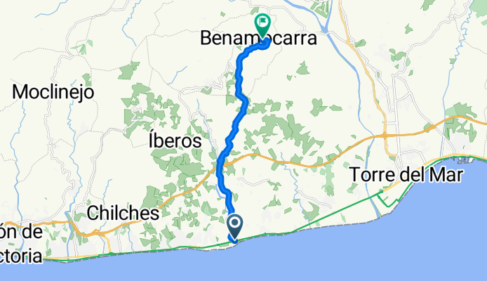
playa valleniza a benamocarra
- 10.6 km
- Distance
- 419 m
- Ascent
- 304 m
- Descent

Subida Cajiz
- 5.5 km
- Distance
- 216 m
- Ascent
- 52 m
- Descent

iberos-rincon -torre-iznate-gaso.
Cycling route in Iznate, Andalusia, Spain
- 59.5 km
- Distance
- 435 m
- Ascent
- 529 m
- Descent

benagalbón-totalan-olias-benagalbón
Cycling route in Valdés, Andalusia, Spain
- 42.8 km
- Distance
- 721 m
- Ascent
- 721 m
- Descent

BENALGALBON MOCLINEJO BORGE CUTAR BENAMARGOSA T MAR
Cycling route in Valdés, Andalusia, Spain
- 75.6 km
- Distance
- 965 m
- Ascent
- 965 m
- Descent