
My saved routes
A collection of 18 cycling routes, created by ktone.OverviewAbout this collection
This collection contains all routes that were previously saved.
- 18
- Routes
- -:--
- Duration
- 5,918.9 km
- Distance
- ---
- Avg. speed
- 30,242 m
- Ascent
- 30,255 m
- Descent
ktonecreated this 9 years ago

L'Eroica
Cycling route in Gaiole in Chianti, Tuscany, Italy
L'Eroica
- 198.9 km
- Distance
- 1,660 m
- Ascent
- 1,659 m
- Descent
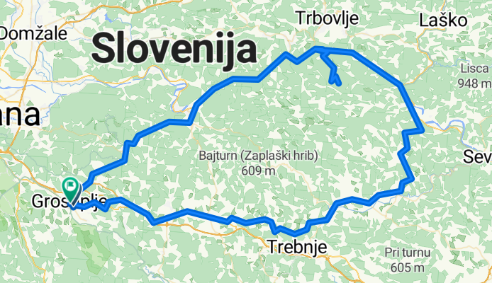
Grosuplje - Kum - Grosuplje
Cycling route in Grosuplje, Grosuplje, Slovenia
Na vrhu Kuma malo makedama
- 145.7 km
- Distance
- 1,753 m
- Ascent
- 1,757 m
- Descent

Grosuplje - Most na Soči
Cycling route in Grosuplje, Grosuplje, Slovenia
Planirana pot Kolesarskega društva Grosuplje v Bohinj. Cilj je železniška postaja Most na Soči. Od tam z vlakom v Bohinjsko Bistrico.
- 113.1 km
- Distance
- 396 m
- Ascent
- 560 m
- Descent
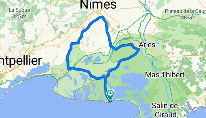
St. Marie 130er (4Std:)
Cycling route in Saintes-Maries-de-la-Mer, Provence-Alpes-Côte d'Azur Region, France
- 128.6 km
- Distance
- 131 m
- Ascent
- 129 m
- Descent

JSK_02_Tavenelle_Rada_Tavernelle
Cycling route in Tavarnelle Val di Pesa, Tuscany, Italy
- 69 km
- Distance
- 1,270 m
- Ascent
- 1,361 m
- Descent

Toskana 2009 - Tour 6
Cycling route in Castellina in Chianti, Tuscany, Italy
Tour suggestion 6
- 97.8 km
- Distance
- 1,327 m
- Ascent
- 1,634 m
- Descent
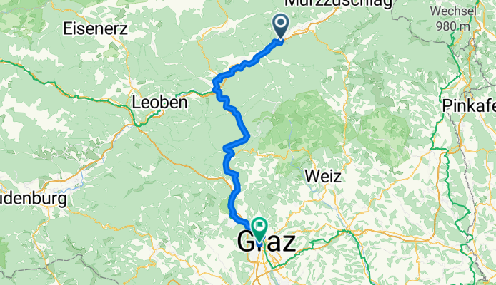

L'Alpe-d-Huez
Cycling route in Huez, Auvergne-Rhône-Alpes, France
- 12.9 km
- Distance
- 1,222 m
- Ascent
- 94 m
- Descent

Col du Galibier
Cycling route in Le Monêtier-les-Bains, Provence-Alpes-Côte d'Azur Region, France
null
- 42.8 km
- Distance
- 1,176 m
- Ascent
- 1,176 m
- Descent
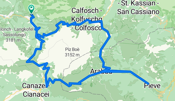
Sella Ronda +
Cycling route in Sëlva, Trentino-Alto Adige, Italy
In Arabba statt links geradeaus gefahren. danach wieder auf Kurs.
- 76.7 km
- Distance
- 2,138 m
- Ascent
- 2,138 m
- Descent
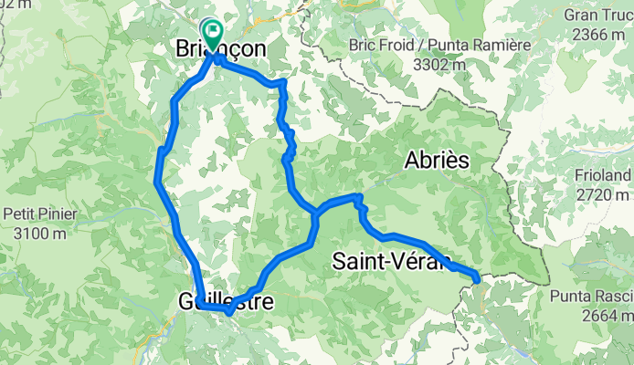
Briançon-Guillestre-Cold'Agnel-Cold'Izoard-Briançon
Cycling route in Briançon, Provence-Alpes-Côte d'Azur Region, France
- 134.8 km
- Distance
- 2,875 m
- Ascent
- 2,883 m
- Descent

Lavardet Zoncolan desde Campolongo
Cycling route in Vigo di Cadore, Veneto, Italy
We climb Forcella Lavardet (questionable asphalt, continuous ascent heading south crowned at Sella di Rasso), Zoncolan, Sella Valcalda, Rigoleto, and Cima Sappada. From Moena to the start of the route, it is a two-hour drive.
- 131.3 km
- Distance
- 3,454 m
- Ascent
- 3,454 m
- Descent