
My saved routes
A collection of 9 cycling routes, created by Herbert Dieter Bloss.
Overview
About this collection
This collection contains all routes that were previously saved.
- 9
- Routes
- -:--
- Duration
- 393.2 km
- Distance
- ---
- Avg. speed
- 3,165 m
- Ascent
- 2,167 m
- Descent

created this 9 years ago
My saved routes
Routes in this collection
All 9 routes in this collection can be opened on the map or in the Bikemap App for more details, where you can adjust them in the route planner, or download them as GPX or KML file. Use them as a template for planning your own rides, or let Bikemap navigate you along them directly.
STGlatterboden
Cycling route in Irdning, Styria, Austria
- 57 km
- Distance
- 179 m
- Ascent
- 277 m
- Descent

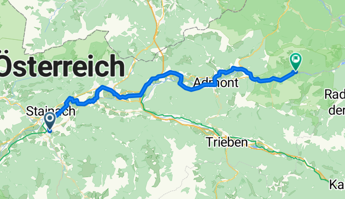
STRadstatt
Cycling route in Irdning, Styria, Austria
- 64 km
- Distance
- 253 m
- Ascent
- 86 m
- Descent

STPlanneralm
Cycling route in Irdning, Styria, Austria
- 18.1 km
- Distance
- 967 m
- Ascent
- 44 m
- Descent


STGrimmingOblarn
Cycling route in Irdning, Styria, Austria
- 26.4 km
- Distance
- 129 m
- Ascent
- 153 m
- Descent

STBadAussee
Cycling route in Irdning, Styria, Austria
- 28.8 km
- Distance
- 286 m
- Ascent
- 183 m
- Descent

SalzburgIrdning
Cycling route in Salzburg, Salzburg, Austria
- 103 km
- Distance
- 824 m
- Ascent
- 490 m
- Descent

RTRWOstwig
Cycling route in Winterberg, North Rhine-Westphalia, Germany
- 29.5 km
- Distance
- 170 m
- Ascent
- 512 m
- Descent

RTRWNeheim
Cycling route in Arnsberg, North Rhine-Westphalia, Germany
- 30.1 km
- Distance
- 117 m
- Ascent
- 184 m
- Descent