
My saved routes
A collection of 144 cycling routes, created by GRUPO VERDE (ALMENDRALEJO).
Overview
About this collection
This collection contains all routes that were previously saved.
- 144
- Routes
- -:--
- Duration
- 6,629.7 km
- Distance
- ---
- Avg. speed
- 36,235 m
- Ascent
- 35,256 m
- Descent

created this 9 years ago
My saved routes
Routes in this collection
All 144 routes in this collection can be opened on the map or in the Bikemap App for more details, where you can adjust them in the route planner, or download them as GPX or KML file. Use them as a template for planning your own rides, or let Bikemap navigate you along them directly.
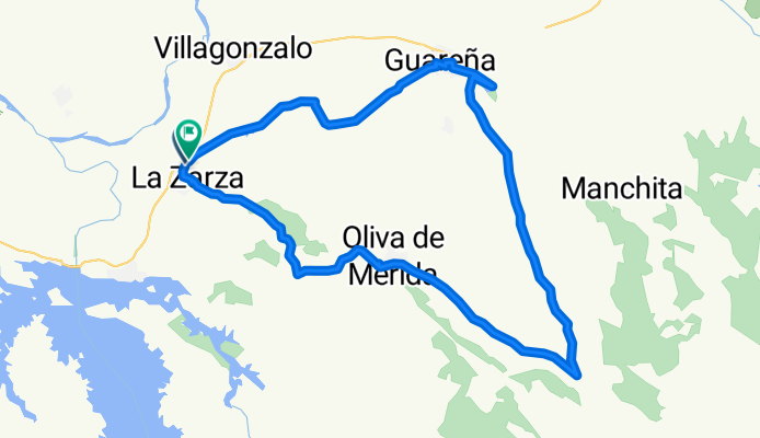
LA ZARZA-OLIVA-GUAREÑA-LA ZARZA
Cycling route in Zarza de Alange, Extremadura, Spain
- 49.6 km
- Distance
- 390 m
- Ascent
- 389 m
- Descent

II RUTA ALMENDRALEJO-LOBÓN-ARROYO DE SAN SERVÁN-ALMENDRALEJO
Cycling route in Almendralejo, Extremadura, Spain
- 68.6 km
- Distance
- 35 m
- Ascent
- 24 m
- Descent

ALMENDRALEJO-LOS SANTOS-RIBERA-ALMENDRALEJO
Cycling route in Almendralejo, Extremadura, Spain
- 51 km
- Distance
- 224 m
- Ascent
- 223 m
- Descent

IV RUTA LOS DOCE APÓSTOLES
Cycling route in Nogales, Extremadura, Spain
- 30.2 km
- Distance
- 293 m
- Ascent
- 285 m
- Descent

RUTA "LAS GANGAS"
Cycling route in Almendralejo, Extremadura, Spain
- 38 km
- Distance
- 242 m
- Ascent
- 226 m
- Descent

Ermita Montevirgen
Cycling route in Almendralejo, Extremadura, Spain
- 36.6 km
- Distance
- 244 m
- Ascent
- 260 m
- Descent

RUTA SAN JUAN MACÍAS
Cycling route in Almendralejo, Extremadura, Spain
- 52.4 km
- Distance
- 151 m
- Ascent
- 176 m
- Descent

Almendralejo-Mérida-Calamonte-Torremejía-Almendralejo
Cycling route in Almendralejo, Extremadura, Spain
- 71.9 km
- Distance
- 228 m
- Ascent
- 226 m
- Descent

Ermita Montevirgen
Cycling route in Almendralejo, Extremadura, Spain
- 36.6 km
- Distance
- 244 m
- Ascent
- 260 m
- Descent

Almendralejo-Los Pajares
Cycling route in Almendralejo, Extremadura, Spain
- 36.2 km
- Distance
- 150 m
- Ascent
- 168 m
- Descent


Nuestra nocturna
Cycling route in Almendralejo, Extremadura, Spain
- 55.7 km
- Distance
- 182 m
- Ascent
- 194 m
- Descent


Sierra sur de Torremejía
Cycling route in Almendralejo, Extremadura, Spain
- 49.7 km
- Distance
- 189 m
- Ascent
- 187 m
- Descent