
My saved routes
A collection of 9 cycling routes, created by Rainer Eberhardt.OverviewAbout this collection
This collection contains all routes that were previously saved.
- 9
- Routes
- -:--
- Duration
- 610.4 km
- Distance
- ---
- Avg. speed
- 5,708 m
- Ascent
- 5,183 m
- Descent
Rainer Eberhardtcreated this 9 years ago


Mit Schmackes über Berg und Tal
Cycling route in Coburg, Bavaria, Germany
Eine schwere Tour für ambitionierte Rennradfahrer die es in sich hat - 2300 Höhenmeter gilt es auf der fast 110 km langen Strecke zu überwinden. Die Strecke führt Sie von Coburg aus über Judenbach in die engen Täler des Thüringer Waldes. Die Strecke ist durchgehend geteert.
Diese Route wurde un…
- 108.4 km
- Distance
- 1,424 m
- Ascent
- 1,238 m
- Descent

0000Tagaestour
Cycling route in Oberstenfeld, Baden-Wurttemberg, Germany
15.04.
- 91.3 km
- Distance
- 428 m
- Ascent
- 364 m
- Descent

Mellrichstadt- Bad Königshofen (MH-Radweg)
Cycling route in Mellrichstadt, Bavaria, Germany
Radweg Mellrichstadt - Bad Königshofen über Meiningen-Hassfurt Radweg
- 28.6 km
- Distance
- 296 m
- Ascent
- 308 m
- Descent

014_Mühlenradtour
Cycling route in Kaisersbach, Baden-Wurttemberg, Germany
Mill tour from Hellershof to Hagerwald Lake
- 7.4 km
- Distance
- 130 m
- Ascent
- 129 m
- Descent

006_Kirchheim-Teck-Ulm
Cycling route in Kirchheim unter Teck, Baden-Wurttemberg, Germany
Up to the Alb, down to Ulm, hooray!
- 77.4 km
- Distance
- 783 m
- Ascent
- 585 m
- Descent

004_Rudersberg ETW-Vers
Cycling route in Waiblingen, Baden-Wurttemberg, Germany
WN-Schorndorf-Rudersberg
- 31.7 km
- Distance
- 149 m
- Ascent
- 66 m
- Descent
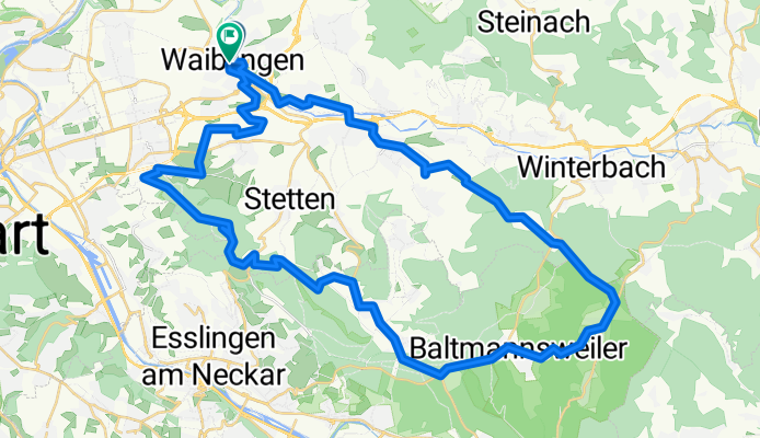
002_WN-Schurwald-WN
Cycling route in Waiblingen, Baden-Wurttemberg, Germany
WN via Beutelsbach Hchurwald/Hohengehren Kernenturm+return
- 55 km
- Distance
- 674 m
- Ascent
- 665 m
- Descent