
My saved routes
A collection of 6 cycling routes, created by koenflore.
Overview
About this collection
This collection contains all routes that were previously saved.
- 6
- Routes
- -:--
- Duration
- 394.7 km
- Distance
- ---
- Avg. speed
- 10,802 m
- Ascent
- 10,805 m
- Descent
created this 9 years ago
My saved routes
Routes in this collection
All 6 routes in this collection can be opened on the map or in the Bikemap App for more details, where you can adjust them in the route planner, or download them as GPX or KML file. Use them as a template for planning your own rides, or let Bikemap navigate you along them directly.
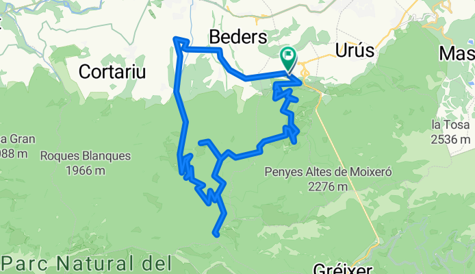
Riu- coll de Pendís
Cycling route in Riu de Cerdanya, Catalonia, Spain
- 31.8 km
- Distance
- 848 m
- Ascent
- 853 m
- Descent

Prats-forn-Riba escorxada-Cap del rep- forn-Prats
Cycling route in Canillo, Canillo, Andorra
- 18.6 km
- Distance
- 946 m
- Ascent
- 946 m
- Descent

Hourquette - Col d Aspin - Beyrede - Hourquette Arreau
Cycling route in Saint-Lary-Soulan, Occitanie, France
- 88.7 km
- Distance
- 2,495 m
- Ascent
- 2,495 m
- Descent

26 juin 2010 =>Arreau - Lac Cap de Long - Val Louron - Arreau
Cycling route in Saint-Lary-Soulan, Occitanie, France
- 89.6 km
- Distance
- 2,267 m
- Ascent
- 2,267 m
- Descent

Pyreneeen, ziet er vet uit
Cycling route in La Seu d'Urgell, Catalonia, Spain
- 83 km
- Distance
- 2,141 m
- Ascent
- 2,142 m
- Descent

La Seu-Ars-St.Joan de l'Erm-Vilamitjana-La Seu
Cycling route in La Seu d'Urgell, Catalonia, Spain
- 83 km
- Distance
- 2,105 m
- Ascent
- 2,102 m
- Descent