
2013_North Cap
A collection of 13 cycling routes, created by Oschep Heinz.
Overview
About this collection
The North Cap Tour - has been a fantastic experience. Throughout the three weeks we have seen a lot of the “higher north”, enjoyed marvellous nature and interesting sightseeing places. Planning a cycling tour up to North Cap has some difficulties. North of the Arctic Circle there is just a limited number of streets. You would expect that in this remote areas might be less traffic, but that is not always so. To avoid the most annoying traffic you should not use “E” roads, sadly this is not possible on few occasions.
- 13
- Routes
- -:--
- Duration
- 1,562.3 km
- Distance
- ---
- Avg. speed
- 6,238 m
- Ascent
- 5,968 m
- Descent

2013_North Cap
Routes in this collection
All 13 routes in this collection can be opened on the map or in the Bikemap App for more details, where you can adjust them in the route planner, or download them as GPX or KML file. Use them as a template for planning your own rides, or let Bikemap navigate you along them directly.

Lulea - Kalix
Cycling route in Luleå, Norrbotten County, Sweden
- 101.7 km
- Distance
- 167 m
- Ascent
- 168 m
- Descent

Kalix - Ylitornio
Cycling route in Rolfs, Norrbotten County, Sweden
- 95 km
- Distance
- 421 m
- Ascent
- 378 m
- Descent

Ylitornio - Rovaniemi
Cycling route in Ylitornio, Lapland Region, Finland
- 120.2 km
- Distance
- 315 m
- Ascent
- 264 m
- Descent

Rovaniemi - Raudanjoki
Cycling route in Rovaniemi, Lapland Region, Finland
- 99.4 km
- Distance
- 409 m
- Ascent
- 310 m
- Descent

Raudanjoki - Kittila
Cycling route in
- 170.5 km
- Distance
- 280 m
- Ascent
- 308 m
- Descent

Kittila - Enontekio
Cycling route in Kittilä, Lapland Region, Finland
- 142.6 km
- Distance
- 269 m
- Ascent
- 141 m
- Descent

Enontekio - Kautokeino
Cycling route in Enontekiö, Lapland Region, Finland
- 84.4 km
- Distance
- 286 m
- Ascent
- 259 m
- Descent
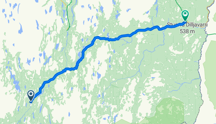
Kautokeion - Karasjok
Cycling route in Kautokeino, Finnmark, Norway
- 127.6 km
- Distance
- 328 m
- Ascent
- 510 m
- Descent

Karasjok - Olderfjord
Cycling route in Karasjok, Finnmark, Norway
- 139.4 km
- Distance
- 504 m
- Ascent
- 641 m
- Descent

Olderfjord - Honnigvag
Cycling route in
- 103.5 km
- Distance
- 1,121 m
- Ascent
- 1,199 m
- Descent

Harstad - Riksgränsen
Cycling route in Harstad, Troms, Norway
- 155.1 km
- Distance
- 1,372 m
- Ascent
- 876 m
- Descent

Riksgränsen - Kiruna
Cycling route in
- 136.2 km
- Distance
- 512 m
- Ascent
- 475 m
- Descent