En route vers le Sud
A collection of 8 cycling routes, created by Thierry VEBR.
Overview
About this collection
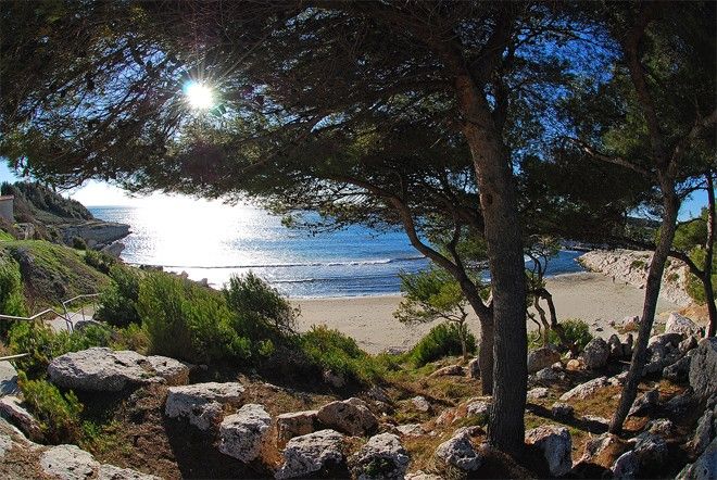
From Beaune to Sainte-Croix beach
- 8
- Routes
- -:--
- Duration
- 609.8 km
- Distance
- ---
- Avg. speed
- 853 m
- Ascent
- 1,325 m
- Descent

created this 7 years ago
En route vers le Sud
Routes in this collection
All 8 routes in this collection can be opened on the map or in the Bikemap App for more details, where you can adjust them in the route planner, or download them as GPX or KML file. Use them as a template for planning your own rides, or let Bikemap navigate you along them directly.

8- Arles - Plage de Sainte-Croix
Cycling route in Fourques, Occitanie, France
- 84 km
- Distance
- 195 m
- Ascent
- 200 m
- Descent

7- Roquemaure - Arles
Cycling route in Montfaucon, Occitanie, France
- 58.8 km
- Distance
- 120 m
- Ascent
- 142 m
- Descent

6- Montélimar - Roquemaure
Cycling route in Montélimar, Auvergne-Rhône-Alpes, France
- 76.6 km
- Distance
- 12 m
- Ascent
- 64 m
- Descent

5- Tournon-sur-Rhône - Montélimar
Cycling route in Saint-Jean-de-Muzols, Auvergne-Rhône-Alpes, France
- 86.3 km
- Distance
- 68 m
- Ascent
- 145 m
- Descent

4- Vienne - Tournon-sur-Rhône
Cycling route in Vienne, Auvergne-Rhône-Alpes, France
- 71.4 km
- Distance
- 61 m
- Ascent
- 203 m
- Descent

3- Villefranche-sur-Saône - Vienne
Cycling route in Vienne, Auvergne-Rhône-Alpes, France
- 71.2 km
- Distance
- 140 m
- Ascent
- 270 m
- Descent

2-Tournus - Villefranche-sur-Saône
Cycling route in Tournus, Bourgogne-Franche-Comté, France
- 84.9 km
- Distance
- 46 m
- Ascent
- 91 m
- Descent

1-Beaune - Tournus
Cycling route in Beaune, Bourgogne-Franche-Comté, France
- 76.6 km
- Distance
- 211 m
- Ascent
- 210 m
- Descent