
Fuerteventura
A cycling tour with 7 stages, starting in Tuineje, Canary Islands, Spain.
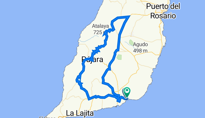
Overview
About this tour
This cycling tour has 7 stages and a total length of 546.5 km.
- 7
- Routes
- -:--
- Duration
- 546.5 km
- Distance
- ---
- Avg. speed
- 6,432 m
- Ascent
- 6,402 m
- Descent

Fuerteventura
Stages of this tour
All 7 stages of this tour can be opened on the map or in the Bikemap App for more details, where you can adjust them in the route planner or download them as GPX or KML file. Use them as a template for planning your own tour, or let Bikemap navigate you along them directly.
Playitas-Cardón-Pájara-La Ampuyenta-Tuineje-Playitasan Tarajal 110k, 1660hm
Cycling route in Tuineje, Canary Islands, Spain
- 110.1 km
- Distance
- 1,912 m
- Ascent
- 1,900 m
- Descent

Playitas-Gran Tarajal, 36K/340hm
Cycling route in Tuineje, Canary Islands, Spain
- 36.6 km
- Distance
- 320 m
- Ascent
- 309 m
- Descent

Playitas-Cardón (17%)-Pajara-Tuineje-Playitas 75k, 1030hm
Cycling route in Tuineje, Canary Islands, Spain
- 75.7 km
- Distance
- 916 m
- Ascent
- 916 m
- Descent

Playitas90k1300hm
Cycling route in Tuineje, Canary Islands, Spain
- 89.9 km
- Distance
- 872 m
- Ascent
- 872 m
- Descent

Playitas-85*** -Tuineje-Pajara-La Pared-La Lajita
Cycling route in Tuineje, Canary Islands, Spain
- 85 km
- Distance
- 918 m
- Ascent
- 918 m
- Descent

Playitas - Pozo Negro (Reg-Tour Strandcafe)
Cycling route in Tuineje, Canary Islands, Spain
- 53.2 km
- Distance
- 484 m
- Ascent
- 484 m
- Descent

Playitas - El Charco (Ostküste)
Cycling route in Tuineje, Canary Islands, Spain
- 96 km
- Distance
- 1,010 m
- Ascent
- 1,003 m
- Descent