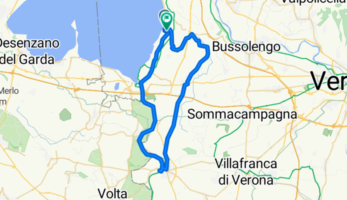
Lazise
A cycling tour with 11 stages, starting in Lazise, Veneto, Italy.
Overview
About this tour
This cycling tour has 11 stages and a total length of 843.2 km.
- 11
- Routes
- 3 h 38 min
- Duration
- 843.2 km
- Distance
- 232.5 km/h
- Avg. speed
- 12,676 m
- Ascent
- 11,183 m
- Descent
Lazise
Stages of this tour
All 11 stages of this tour can be opened on the map or in the Bikemap App for more details, where you can adjust them in the route planner or download them as GPX or KML file. Use them as a template for planning your own tour, or let Bikemap navigate you along them directly.
Monte Baldo
Cycling route in Lazise, Veneto, Italy
- 51.5 km
- Distance
- 1,972 m
- Ascent
- 585 m
- Descent
Lazise - Garda - San Zeno di Mantagna - Prada - Caprino Veronese - Affi - Lazise
Cycling route in Lazise, Veneto, Italy
- 60.9 km
- Distance
- 963 m
- Ascent
- 963 m
- Descent
Lazise, Avio, Monte Baldo, Lazise
Cycling route in Lazise, Veneto, Italy
- 112.4 km
- Distance
- 1,857 m
- Ascent
- 1,858 m
- Descent
Lazise - Garda - Prada - Spiazzi - Lazise
Cycling route in Lazise, Veneto, Italy
- 69.7 km
- Distance
- 1,459 m
- Ascent
- 1,451 m
- Descent
Panoramastrasse zum Monte Baldo
Cycling route in Lazise, Veneto, Italy
- 105.2 km
- Distance
- 1,891 m
- Ascent
- 1,891 m
- Descent
Durch die Weinberge
Cycling route in Lazise, Veneto, Italy
- 78.5 km
- Distance
- 1,183 m
- Ascent
- 1,118 m
- Descent
Lazise mantova le grazie goito lazise
Cycling route in Lazise, Veneto, Italy
- 103.9 km
- Distance
- 235 m
- Ascent
- 228 m
- Descent
lazise- sermioni -lazise md uden
Cycling route in Lazise, Veneto, Italy
- 64.4 km
- Distance
- 244 m
- Ascent
- 243 m
- Descent
Spaccio from Lazise (Easy way)
Cycling route in Lazise, Veneto, Italy
- 104.7 km
- Distance
- 1,924 m
- Ascent
- 1,917 m
- Descent


