
Sierning
A cycling tour with 6 stages, starting in Sierning, Upper Austria, Austria.
Overview
About this tour
This cycling tour has 6 stages and a total length of 284.8 km.
- 6
- Routes
- -:--
- Duration
- 284.8 km
- Distance
- ---
- Avg. speed
- 3,903 m
- Ascent
- 3,960 m
- Descent
Sierning
Stages of this tour
All 6 stages of this tour can be opened on the map or in the Bikemap App for more details, where you can adjust them in the route planner or download them as GPX or KML file. Use them as a template for planning your own tour, or let Bikemap navigate you along them directly.
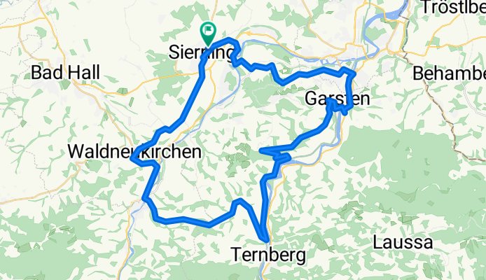
Steyrtal_Ennstalrunde
Cycling route in Sierning, Upper Austria, Austria
- 50 km
- Distance
- 522 m
- Ascent
- 522 m
- Descent

Teufelsgraben
Cycling route in Sierning, Upper Austria, Austria
- 42.9 km
- Distance
- 295 m
- Ascent
- 292 m
- Descent

Grünburgerhütte_Hohe Linde
Cycling route in Sierning, Upper Austria, Austria
- 54.8 km
- Distance
- 1,015 m
- Ascent
- 1,031 m
- Descent

Überlandpartie bis Steyr
Cycling route in Sierning, Upper Austria, Austria
- 55.2 km
- Distance
- 412 m
- Ascent
- 454 m
- Descent

Neuzeug-Schneeherrgott-Neuzeug
Cycling route in Sierning, Upper Austria, Austria
- 41.2 km
- Distance
- 717 m
- Ascent
- 717 m
- Descent

#Dambergwarte mW1
Cycling route in Sierning, Upper Austria, Austria
- 40.8 km
- Distance
- 942 m
- Ascent
- 944 m
- Descent