
todtnau foresta nera
A collection of 5 cycling routes, created by Alberto Robino.
Overview
About this collection
This route collection contains 5 cycling routes with a total length of 253.5 km.
- 5
- Routes
- -:--
- Duration
- 253.5 km
- Distance
- ---
- Avg. speed
- 5,185 m
- Ascent
- 5,717 m
- Descent

created this 6 years ago
todtnau foresta nera
Routes in this collection
All 5 routes in this collection can be opened on the map or in the Bikemap App for more details, where you can adjust them in the route planner, or download them as GPX or KML file. Use them as a template for planning your own rides, or let Bikemap navigate you along them directly.

Köpflesbrunnen-Gschend
Cycling route in Todtnau, Baden-Wurttemberg, Germany
- 38.9 km
- Distance
- 685 m
- Ascent
- 1,209 m
- Descent

Feld-fel
Cycling route in Utzenfeld, Baden-Wurttemberg, Germany
- 43.9 km
- Distance
- 809 m
- Ascent
- 809 m
- Descent
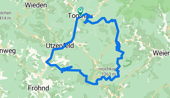
Todtnau Hochkopf - Runde
Cycling route in Todtnau, Baden-Wurttemberg, Germany
- 38.4 km
- Distance
- 1,044 m
- Ascent
- 1,051 m
- Descent

Fröhnd_Mi_MTB_Todtnaurunde
Cycling route in Todtnau, Baden-Wurttemberg, Germany
- 30.9 km
- Distance
- 972 m
- Ascent
- 971 m
- Descent

Gipfeltrail_Final-100km
Cycling route in Todtnau, Baden-Wurttemberg, Germany
- 101.4 km
- Distance
- 1,675 m
- Ascent
- 1,677 m
- Descent