GTMC

GTMC

A cycling tour with 6 stages, starting in Volvic, Auvergne-Rhône-Alpes, France.

Overview

About this tour

La Grande Traversée du Massif Central

6
Routes
-:--
Duration
255.8 km
Distance
---
Avg. speed
6,110 m
Ascent
5,377 m
Descent
FrenchLiner
FrenchLiner

created this 6 years ago

GTMC

Stages of this tour

All 6 stages of this tour can be opened on the map or in the Bikemap App for more details, where you can adjust them in the route planner or download them as GPX or KML file. Use them as a template for planning your own tour, or let Bikemap navigate you along them directly.
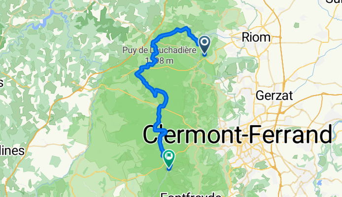
1

Volvic / Laschamps

Cycling route in Volvic, Auvergne-Rhône-Alpes, France

This MTB route with playful trails crosses a succession of charming villages and landscapes that lead us to the Chaîne des Puys. Past Volvic, we dive into the heart of the matter where the itinerary heads towards the puy de Chopine on well-rolling paths. In the heart of the Chaîne des Puys, the rou…
37.2 km
Distance
841 m
Ascent
467 m
Descent
0

Laschamps / Murol

Cycling route in Saint-Genès-Champanelle, Auvergne-Rhône-Alpes, France

Depuis Laschamps l'itinéraire VTT de la GTMC emprunte de superbes sentiers jusqu'à Recoleine puis Orcival. Une petite visite s'impose à la Basilique Notre-Dame-des-Fers qui est une œuvre majeur de l'Art Roman. On entre peu à peu sur le massif du San…
43.3 km
Distance
1,066 m
Ascent
1,158 m
Descent
0

Murol / Saint-Alyre-ès-Montagne

Cycling route in Le Mont-Dore, Auvergne-Rhône-Alpes, France

The views in this part are stunning and the atmospheres... changing! From the very beautiful medieval village of Besse, you reach the impressive Lac Pavin and then the Lac de Montcineyre. We are in the Cezallier: the steep slopes give way to the gentle and rounded curves of the vast summer pastures…
39.2 km
Distance
1,088 m
Ascent
809 m
Descent
0

Saint-Alyre-ès-Montagne / Chalinargues

Cycling route in Condat, Auvergne-Rhône-Alpes, France

Depuis Jassy, la GTMC gagne le col du Mont Chamaroux, puis la piste pastorale amène jusqu’au sommet du plateau à 1 450 m. Du sommet, énorme panorama sur les monts du Sancy et du Cantal ! S’ensuit une descente magistrale de 6 km debout sur les pédales ! Dans c…
39 km
Distance
739 m
Ascent
820 m
Descent
0

Chalinargues / Ruynes-en-Margeride

Cycling route in Neussargues, Auvergne-Rhône-Alpes, France

Depuis Chalinargues, l'itinéraire de la GTMC redescend à Neussargues en suivant un court instant un singletrack assez technique. Hormis la côte de Combe Robert puis celle du Sailhant, la traversée de la Planèze s’annonce plutôt tranquille et roulant…
48.9 km
Distance
932 m
Ascent
1,104 m
Descent
0

Ruynes-en-Margeride / Domaine du Sauvage

Cycling route in Saint-Flour, Auvergne-Rhône-Alpes, France

From Ruynes in Margeride, you need to climb the elevation to Trailus and then ascend to the Col du Signal. Then follows a rather rolling ridge path that leads to the summit of Mont Mouchet (1497 m), a significant site of the French Resistance. You then enter Haute-Loire and then descend to Paulhac …
48.2 km
Distance
1,444 m
Ascent
1,019 m
Descent