
south
A cycling tour with 8 stages, starting in Perpignan, Occitanie, France.
Overview
About this tour
This cycling tour has 8 stages and a total length of 249.6 km.
- 8
- Routes
- -:--
- Duration
- 249.6 km
- Distance
- ---
- Avg. speed
- 1,218 m
- Ascent
- 1,223 m
- Descent

south
Stages of this tour
All 8 stages of this tour can be opened on the map or in the Bikemap App for more details, where you can adjust them in the route planner or download them as GPX or KML file. Use them as a template for planning your own tour, or let Bikemap navigate you along them directly.
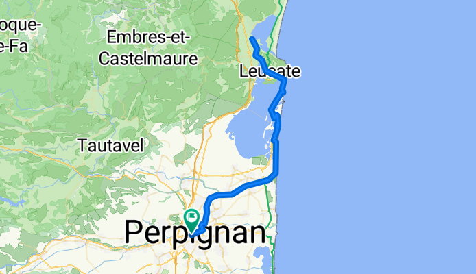
Training perpi-leucate
Cycling route in Perpignan, Occitanie, France
- 89.8 km
- Distance
- 104 m
- Ascent
- 104 m
- Descent
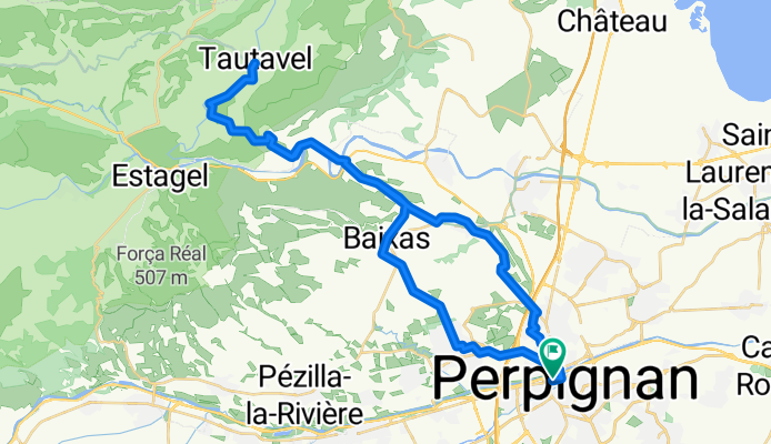
Perpignan-tautavel
Cycling route in Perpignan, Occitanie, France
With elevation
- 54.1 km
- Distance
- 444 m
- Ascent
- 444 m
- Descent
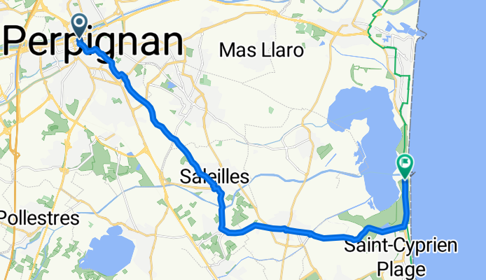
Perpi - canet sud etang
Cycling route in Perpignan, Occitanie, France
- 18.7 km
- Distance
- 21 m
- Ascent
- 58 m
- Descent
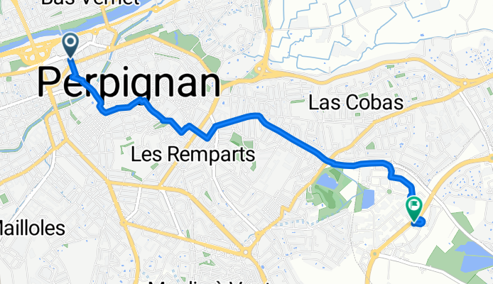

perpi -camelas
Cycling route in Perpignan, Occitanie, France
stay overnight in a forest
- 26.7 km
- Distance
- 378 m
- Ascent
- 94 m
- Descent

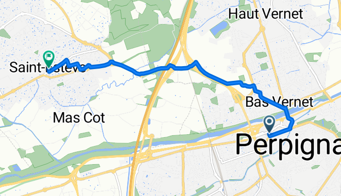
camelas-villeneuve de la raho
Cycling route in Thuir, Occitanie, France
- 23.9 km
- Distance
- 86 m
- Ascent
- 368 m
- Descent

Perpignan-Sorède
Cycling route in Perpignan, Occitanie, France
Stop every 10 km, break 10 minutes max.
- 27.1 km
- Distance
- 148 m
- Ascent
- 120 m
- Descent