
MTB
A collection of 16 cycling routes, created by Baczek.
Overview
About this collection
This route collection contains 16 cycling routes with a total length of 1,535.3 km.
- 16
- Routes
- -:--
- Duration
- 1,535.3 km
- Distance
- ---
- Avg. speed
- 14,170 m
- Ascent
- 14,168 m
- Descent

created this 5 years ago
MTB
Routes in this collection
All 16 routes in this collection can be opened on the map or in the Bikemap App for more details, where you can adjust them in the route planner, or download them as GPX or KML file. Use them as a template for planning your own rides, or let Bikemap navigate you along them directly.
Podkarpackie XC
Cycling route in Rzeszów, Subcarpathian Voivodeship, Poland
- 110.4 km
- Distance
- 996 m
- Ascent
- 994 m
- Descent

Północ Julin Sokołów
Cycling route in Rzeszów, Subcarpathian Voivodeship, Poland
- 106.2 km
- Distance
- 424 m
- Ascent
- 424 m
- Descent

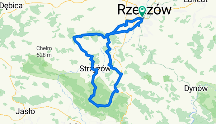
Rzeszow-Strzyzow-KamieniecZamek-WodospadKomboria
Cycling route in Krasne, Subcarpathian Voivodeship, Poland
- 130.3 km
- Distance
- 832 m
- Ascent
- 833 m
- Descent

Rzeszów-Kąkolówka-Wilcze-Rzeszów
Cycling route in Rudna Wielka, Subcarpathian Voivodeship, Poland
- 81.2 km
- Distance
- 589 m
- Ascent
- 589 m
- Descent

Na zachód Rzeszowa Plan 1
Cycling route in Rzeszów, Subcarpathian Voivodeship, Poland
- 95.7 km
- Distance
- 703 m
- Ascent
- 703 m
- Descent

Podkarpackie XC/Enduro - Trudna Trasa
Cycling route in Rzeszów, Subcarpathian Voivodeship, Poland
- 126.9 km
- Distance
- 1,392 m
- Ascent
- 1,392 m
- Descent

#12 Rzeszów - Łopuszka Mała (Ranczo), Pruchnik (wieża widokowa)
Cycling route in Rzeszów, Subcarpathian Voivodeship, Poland
- 110.8 km
- Distance
- 1,351 m
- Ascent
- 1,351 m
- Descent

Tur De
Cycling route in Krasne, Subcarpathian Voivodeship, Poland
- 98 km
- Distance
- 664 m
- Ascent
- 664 m
- Descent

2016_08_14 Wysoka - Markowa - Husów - Manasterz - Zagórze - Medynia Kańczucka - Łopuszka Wielka - Rzeplin - Rozbórz Okrągły - Jodłówka - Hucisko Jawornickie - W
Cycling route in Wysoka, Subcarpathian Voivodeship, Poland
- 89.2 km
- Distance
- 827 m
- Ascent
- 826 m
- Descent

Trochę terenu
Cycling route in Rzeszów, Subcarpathian Voivodeship, Poland
- 89.1 km
- Distance
- 805 m
- Ascent
- 802 m
- Descent

SMLT2014
Cycling route in Rzeszów, Subcarpathian Voivodeship, Poland
- 79.9 km
- Distance
- 1,159 m
- Ascent
- 1,162 m
- Descent

Rezerwat Herby
Cycling route in Boguchwała, Subcarpathian Voivodeship, Poland
- 101.7 km
- Distance
- 1,078 m
- Ascent
- 1,070 m
- Descent