
Algund
A cycling tour with 15 stages, starting in Mals, Trentino-Alto Adige, Italy.
Overview
About this tour
This cycling tour has 15 stages and a total length of 436.9 km.
- 15
- Routes
- -:--
- Duration
- 436.9 km
- Distance
- ---
- Avg. speed
- 14,846 m
- Ascent
- 4,500 m
- Descent
Algund
Stages of this tour
All 15 stages of this tour can be opened on the map or in the Bikemap App for more details, where you can adjust them in the route planner or download them as GPX or KML file. Use them as a template for planning your own tour, or let Bikemap navigate you along them directly.

A-Mals-Algund
Cycling route in Mals, Trentino-Alto Adige, Italy
- 80.3 km
- Distance
- 573 m
- Ascent
- 1,247 m
- Descent


A-Leiter Alm
Cycling route in Algund, Trentino-Alto Adige, Italy
- 12.7 km
- Distance
- 1,207 m
- Ascent
- 22 m
- Descent

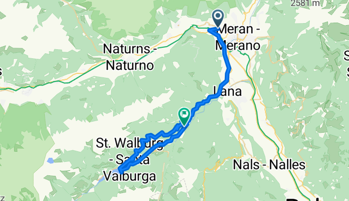
A-Kirchsteiger
Cycling route in Algund, Trentino-Alto Adige, Italy
- 30.2 km
- Distance
- 1,781 m
- Ascent
- 493 m
- Descent


A-Zmailer Hof Schenna
Cycling route in Algund, Trentino-Alto Adige, Italy
- 11.4 km
- Distance
- 799 m
- Ascent
- 32 m
- Descent

A-Gasthof Walde
Cycling route in Algund, Trentino-Alto Adige, Italy
- 16.7 km
- Distance
- 1,012 m
- Ascent
- 53 m
- Descent

A-Spronseralm
Cycling route in Algund, Trentino-Alto Adige, Italy
- 8.9 km
- Distance
- 754 m
- Ascent
- 27 m
- Descent

A-Gasthof Schnugger2
Cycling route in Algund, Trentino-Alto Adige, Italy
- 14.9 km
- Distance
- 1,090 m
- Ascent
- 60 m
- Descent

A-Gasthof Schnugger
Cycling route in Algund, Trentino-Alto Adige, Italy
- 15 km
- Distance
- 1,068 m
- Ascent
- 38 m
- Descent

A-Resegger Alm
Cycling route in Algund, Trentino-Alto Adige, Italy
- 23.7 km
- Distance
- 1,749 m
- Ascent
- 92 m
- Descent