
STKP (Slovenska TurnoKolesarska Pot)
A collection of 40 cycling routes, created by Goran Beširević.
Overview
About this collection
This route collection contains 40 cycling routes with a total length of 1,739.2 km.
- 40
- Routes
- -:--
- Duration
- 1,739.2 km
- Distance
- ---
- Avg. speed
- 42,150 m
- Ascent
- 41,712 m
- Descent

created this 4 years ago
STKP (Slovenska TurnoKolesarska Pot)
Routes in this collection
All 40 routes in this collection can be opened on the map or in the Bikemap App for more details, where you can adjust them in the route planner, or download them as GPX or KML file. Use them as a template for planning your own rides, or let Bikemap navigate you along them directly.

STKP 01: Ljubljana – Mihelčičev dom na Govejku
Cycling route in Ljubljana, Ljubljana, Slovenia
- 26 km
- Distance
- 849 m
- Ascent
- 483 m
- Descent

STKP 03: Koča na Blegošu – Koča na Petrovem brdu
Cycling route in Železniki, Železniki Municipality, Slovenia
- 32.3 km
- Distance
- 923 m
- Ascent
- 1,500 m
- Descent

STKP 02: Mihelčičev dom na Govejku – Koča na Blegošu
Cycling route in Medvode, Medvode, Slovenia
- 38.8 km
- Distance
- 1,431 m
- Ascent
- 772 m
- Descent

STKP 04: Koča na Petrovem Brdu – Planinska koča na Uskovnici
Cycling route in Bohinjska Bistrica, Bohinj Municipality, Slovenia
- 43.7 km
- Distance
- 1,167 m
- Ascent
- 831 m
- Descent

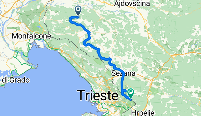
STKP 13: Iztokova koča pod Golaki – Stjenkova koča na Trstelju
Cycling route in Lokavec, Ajdovščina Municipality, Slovenia
- 46.8 km
- Distance
- 950 m
- Ascent
- 1,619 m
- Descent

STKP 21: Koča pri Jelenovem studencu – Planinski dom na Mirni gori
Cycling route in Kočevje, Občina Kočevje, Slovenia
- 50.3 km
- Distance
- 1,078 m
- Ascent
- 977 m
- Descent
STKP 14: Stjenkova koča na Trstelju – Koča na Kokoši
Cycling route in Prvačina, Nova Gorica, Slovenia
- 47.5 km
- Distance
- 600 m
- Ascent
- 540 m
- Descent

STKP 19: Planinski dom na Sviščakih – Loški Potok
Cycling route in Leskova Dolina, Loška Dolina Municipality, Slovenia
- 46.2 km
- Distance
- 525 m
- Ascent
- 1,001 m
- Descent

STKP 22: Planinski dom na Mirni gori – Planinski dom pri Gospodični na Gorjancih
- 64.2 km
- Distance
- 878 m
- Ascent
- 1,019 m
- Descent

STKP 05: Planinska koča na Uskovnici – Kovinarska koča v Krmi - Aljažev dom v Vratih
Cycling route in Bohinjska Bistrica, Bohinj Municipality, Slovenia
- 58.8 km
- Distance
- 1,107 m
- Ascent
- 1,265 m
- Descent

STKP 20: Hrib Loški potok – Koča pri Jelenovem studencu
Cycling route in Loški Potok, Občina Loški Potok, Slovenia
- 42.7 km
- Distance
- 835 m
- Ascent
- 712 m
- Descent

STKP 23: Planinski dom pri Gospodični na Gorjancih – Brežice
Cycling route in Šentjernej, Občina Šentjernej, Slovenia
- 50.7 km
- Distance
- 919 m
- Ascent
- 1,626 m
- Descent