
Südtirol
A collection of 12 cycling routes, created by Marc Hennemann.
Overview
About this collection
This route collection contains 12 cycling routes with a total length of 574.7 km.
- 12
- Routes
- 10 h 35 min
- Duration
- 574.7 km
- Distance
- 54.3 km/h
- Avg. speed
- 10,617 m
- Ascent
- 10,068 m
- Descent

created this 4 years ago
Südtirol
Routes in this collection
All 12 routes in this collection can be opened on the map or in the Bikemap App for more details, where you can adjust them in the route planner, or download them as GPX or KML file. Use them as a template for planning your own rides, or let Bikemap navigate you along them directly.

Bozen - Oberplanitzing (Gutshof Sinn)
Cycling route in Bolzano, Trentino-Alto Adige, Italy
- 15.8 km
- Distance
- 301 m
- Ascent
- 73 m
- Descent

Gutshof Sinn - Kaltern - Bozen
Cycling route in Caldaro sulla Strada del Vino, Trentino-Alto Adige, Italy
- 34.5 km
- Distance
- 560 m
- Ascent
- 557 m
- Descent

Gutshof Sinn - Kalterer See - Auer - Bozen
Cycling route in Caldaro sulla Strada del Vino, Trentino-Alto Adige, Italy
- 41.4 km
- Distance
- 677 m
- Ascent
- 679 m
- Descent

Oberplars - Tirolo - Merano - Marlengo - Oberplars
Cycling route in Algund, Trentino-Alto Adige, Italy
- 33.6 km
- Distance
- 795 m
- Ascent
- 795 m
- Descent

Oberplars - Reschen - Mals
Cycling route in Algund, Trentino-Alto Adige, Italy
- 92.3 km
- Distance
- 1,589 m
- Ascent
- 1,106 m
- Descent

Oberplars - Terlano - Mölten - Meran - Algund
Cycling route in Algund, Trentino-Alto Adige, Italy
- 76.2 km
- Distance
- 1,813 m
- Ascent
- 1,960 m
- Descent

Kleiner Montiggler See - Oberplars
Cycling route in Vadena, Trentino-Alto Adige, Italy
- 45.6 km
- Distance
- 490 m
- Ascent
- 514 m
- Descent

Oberplars - Kleiner Montiggler See
Cycling route in Algund, Trentino-Alto Adige, Italy
- 42.9 km
- Distance
- 449 m
- Ascent
- 432 m
- Descent

Oberplars - Oberplanitzing (Gutshof Sinn)
Cycling route in Algund, Trentino-Alto Adige, Italy
- 43.9 km
- Distance
- 381 m
- Ascent
- 396 m
- Descent


Oberplanitzing - Medelpass - Gampenpass - Oberplanitzing
Cycling route in Caldaro sulla Strada del Vino, Trentino-Alto Adige, Italy
- 71.1 km
- Distance
- 2,117 m
- Ascent
- 2,116 m
- Descent

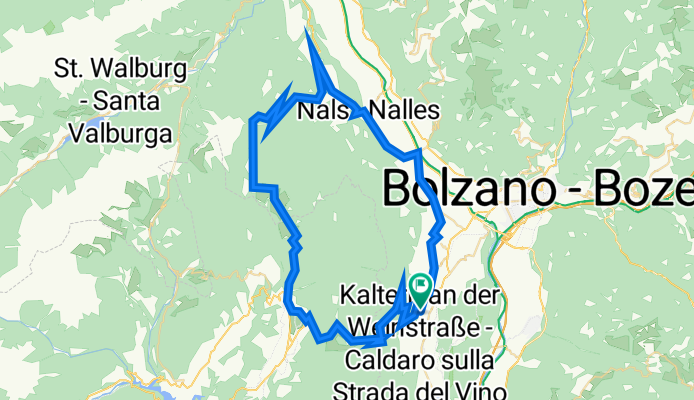
Oberplanitzing - Bozen - Neumarkt - Kaltern - Oberplanitzing
Cycling route in Caldaro sulla Strada del Vino, Trentino-Alto Adige, Italy
- 48.5 km
- Distance
- 547 m
- Ascent
- 543 m
- Descent

Oberplanitzing - Mendelpass - Oberplanitzing
Cycling route in Caldaro sulla Strada del Vino, Trentino-Alto Adige, Italy
- 28.9 km
- Distance
- 898 m
- Ascent
- 897 m
- Descent