
Provence
A collection of 11 cycling routes, created by Dieter Witterauf.
Overview
About this collection
This route collection contains 11 cycling routes with a total length of 751.7 km.
- 11
- Routes
- -:--
- Duration
- 751.7 km
- Distance
- ---
- Avg. speed
- 17,772 m
- Ascent
- 17,803 m
- Descent

created this 3 years ago
Provence
Routes in this collection
All 11 routes in this collection can be opened on the map or in the Bikemap App for more details, where you can adjust them in the route planner, or download them as GPX or KML file. Use them as a template for planning your own rides, or let Bikemap navigate you along them directly.

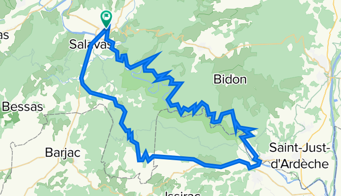
Sur la Gorge d'Ardeche - der Klassiker
Cycling route in Ruoms, Auvergne-Rhône-Alpes, France
- 70.1 km
- Distance
- 2,589 m
- Ascent
- 2,591 m
- Descent
Pont-d'Arc Runde 70/1070
Cycling route in Ruoms, Auvergne-Rhône-Alpes, France
- 69.4 km
- Distance
- 2,508 m
- Ascent
- 2,508 m
- Descent

Pont-d Arc 55/700
Cycling route in Ruoms, Auvergne-Rhône-Alpes, France
- 57.2 km
- Distance
- 857 m
- Ascent
- 856 m
- Descent

Pont-d'Arc 80/1150
Cycling route in Ruoms, Auvergne-Rhône-Alpes, France
- 80.6 km
- Distance
- 1,455 m
- Ascent
- 1,453 m
- Descent

Mont Ventoux mit langer Anfahrt 85/1950
Cycling route in Sault, Provence-Alpes-Côte d'Azur Region, France
- 83.8 km
- Distance
- 2,221 m
- Ascent
- 2,219 m
- Descent

Sault - Mont Ventoux direkt 52/1350
Cycling route in Sault, Provence-Alpes-Côte d'Azur Region, France
- 52.1 km
- Distance
- 1,404 m
- Ascent
- 1,426 m
- Descent


La Monde Runde 105/1100
- 104.7 km
- Distance
- 1,374 m
- Ascent
- 1,376 m
- Descent

Lac d'Annecy – Talloires Runde 65/1040
Cycling route in Saint-Jorioz, Auvergne-Rhône-Alpes, France
- 65.5 km
- Distance
- 1,203 m
- Ascent
- 1,203 m
- Descent

Les Gorges de la Bourne 45/1200
Cycling route in Pont-en-Royans, Auvergne-Rhône-Alpes, France
- 44.4 km
- Distance
- 1,546 m
- Ascent
- 1,555 m
- Descent

L'Esterel loop 65/800
- 63.4 km
- Distance
- 989 m
- Ascent
- 987 m
- Descent