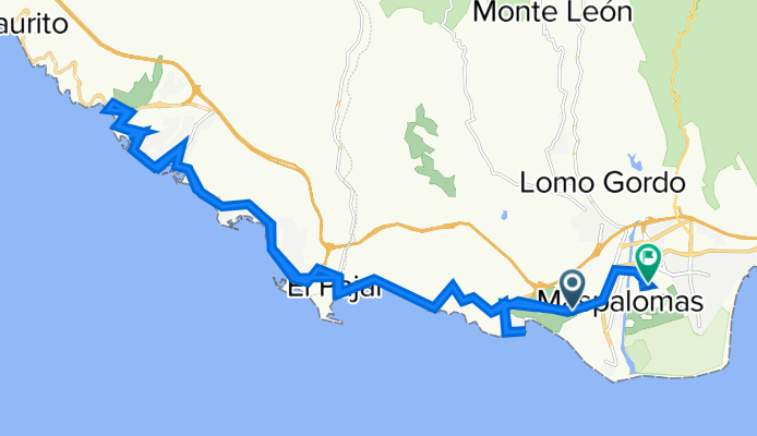
Gran Canaria
A cycling tour with 12 stages, starting in Maspalomas, Canary Islands, Spain.
Overview
About this tour
This cycling tour has 12 stages and a total length of 536.6 km.
- 12
- Routes
- 16 h 56 min
- Duration
- 536.6 km
- Distance
- 31.7 km/h
- Avg. speed
- 9,042 m
- Ascent
- 8,982 m
- Descent
Gran Canaria
Stages of this tour
All 12 stages of this tour can be opened on the map or in the Bikemap App for more details, where you can adjust them in the route planner or download them as GPX or KML file. Use them as a template for planning your own tour, or let Bikemap navigate you along them directly.
02. Presa de Chira
Cycling route in Maspalomas, Canary Islands, Spain
- 59.9 km
- Distance
- 1,329 m
- Ascent
- 1,327 m
- Descent
30 mile to lake Gran Canaria
Cycling route in Maspalomas, Canary Islands, Spain
- 28.4 km
- Distance
- 474 m
- Ascent
- 474 m
- Descent
Ayagaures - Palmitos Park
Cycling route in Maspalomas, Canary Islands, Spain
- 21.5 km
- Distance
- 610 m
- Ascent
- 608 m
- Descent
GC Ayagaures Runde 31km
Cycling route in Playa del Ingles, Canary Islands, Spain
- 30.5 km
- Distance
- 510 m
- Ascent
- 507 m
- Descent
GRAN CANARIA - Tour "Grand Canyon" von Maspalomas aus CLONED FROM ROUTE 891692
Cycling route in Maspalomas, Canary Islands, Spain
- 35.8 km
- Distance
- 671 m
- Ascent
- 668 m
- Descent
Gran Canyon Tour
Cycling route in Playa del Ingles, Canary Islands, Spain
- 43.4 km
- Distance
- 756 m
- Ascent
- 756 m
- Descent
Ho Ho Home in time for tea
Cycling route in Maspalomas, Canary Islands, Spain
- 48.4 km
- Distance
- 1,084 m
- Ascent
- 1,084 m
- Descent
Lengthy bike tour through San Bartolomé de Tirajana
Cycling route in Maspalomas, Canary Islands, Spain
- 48.1 km
- Distance
- 455 m
- Ascent
- 473 m
- Descent
Soria
Cycling route in Playa del Ingles, Canary Islands, Spain
- 67.9 km
- Distance
- 1,079 m
- Ascent
- 1,056 m
- Descent
Maspolamas - Ayagaures Stausee
Cycling route in Playa del Ingles, Canary Islands, Spain
- 32.8 km
- Distance
- 509 m
- Ascent
- 509 m
- Descent


