
Lavanttal
A collection of 5 cycling routes, created by felinofico.
Overview
About this collection
This route collection contains 5 cycling routes with a total length of 483.6 km.
- 5
- Routes
- -:--
- Duration
- 483.6 km
- Distance
- ---
- Avg. speed
- 9,225 m
- Ascent
- 9,056 m
- Descent
felinofico

created this 1 year ago
Lavanttal
Routes in this collection
All 5 routes in this collection can be opened on the map or in the Bikemap App for more details, where you can adjust them in the route planner, or download them as GPX or KML file. Use them as a template for planning your own rides, or let Bikemap navigate you along them directly.

Koralperound
Cycling route in Wolfsberg, Carinthia, Austria
Hard climbs from both directions, good quality asphalt.
- 110.5 km
- Distance
- 2,436 m
- Ascent
- 2,436 m
- Descent

80 km through the "Lavanttal"
Cycling route in Wolfsberg, Carinthia, Austria
Eine 80 Kilometer Runde mit Start in Sankt Stefan über das Klipitzthörl, das Lavanttal nach St. Paul und wieder retour.
- 83.6 km
- Distance
- 1,080 m
- Ascent
- 1,080 m
- Descent
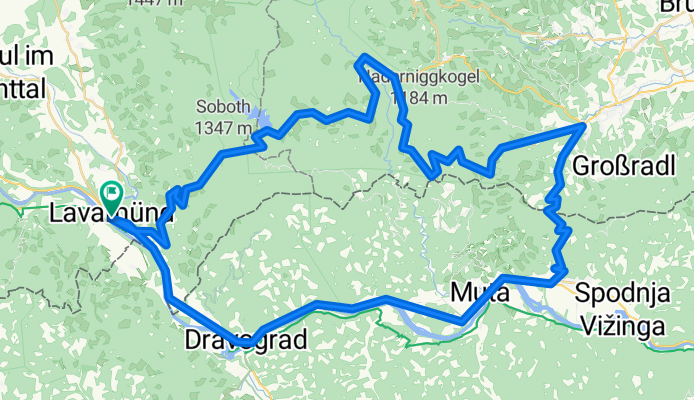
Lavamünd. Soboth, Radl-Pass, Lavamünd
Cycling route in Lavamünd, Carinthia, Austria
kurz und knackig
- 81.6 km
- Distance
- 1,581 m
- Ascent
- 1,581 m
- Descent

Lavamündtour
Cycling route in Eberndorf, Carinthia, Austria
Beautiful, mostly flat road bike tour through the Jauntal. On this tour, we chose the Drau bike path for the return journey from Ruden. It would be a bit faster and shorter if one went before Ruden over the Jörg-Haider Bridge, Rinkenberg, Replach, and then through Mittlern to Kühnsdorf.
- 79.2 km
- Distance
- 891 m
- Ascent
- 891 m
- Descent

Rennradtour 8: Lavanttal - Weinebene - Soboth
Cycling route in Sankt Paul im Lavanttal, Carinthia, Austria
Start in St. Paul im Lavanttal. Über Jakling und St. Stefan geht es auf Nebenstrassen nach Wolfsberg. Entlang der B 70 bis St. Gertraud, dort Abweigung Richtung Weinebene. Grenzübergang in die Steiermark und Abfahrt nach Deutschlandsberg. Über Schwanberg und Wies nach Eibiswald. Anstieg hinauf zur …
- 128.8 km
- Distance
- 3,237 m
- Ascent
- 3,068 m
- Descent