
extremadura trip
A cycling tour with 10 stages, starting in Madroñera, Extremadura, Spain.
Overview
About this tour
This cycling tour has 10 stages and a total length of 397.2 km.
- 10
- Routes
- 22 h 41 min
- Duration
- 397.2 km
- Distance
- 17.5 km/h
- Avg. speed
- 5,860 m
- Ascent
- 5,801 m
- Descent
created this 1 year ago
extremadura trip
Stages of this tour
All 10 stages of this tour can be opened on the map or in the Bikemap App for more details, where you can adjust them in the route planner or download them as GPX or KML file. Use them as a template for planning your own tour, or let Bikemap navigate you along them directly.

Route to Trujillo
Cycling route in Madroñera, Extremadura, Spain
- 14.5 km
- Distance
- 129 m
- Ascent
- 200 m
- Descent

Route to Belvís de Monroy
Cycling route in Trujillo, Extremadura, Spain
- 78.9 km
- Distance
- 1,486 m
- Ascent
- 1,729 m
- Descent

Belvís de Monroy to Jarandilla de la Vera
Cycling route in Saucedilla, Extremadura, Spain
- 58.2 km
- Distance
- 648 m
- Ascent
- 342 m
- Descent

Jarandilla de la Vera to Cuacos de Yuste
Cycling route in Jarandilla de la Vera, Extremadura, Spain
- 9.8 km
- Distance
- 296 m
- Ascent
- 331 m
- Descent

Route to Garganta la Olla
Cycling route in Aldeanueva de la Vera, Extremadura, Spain
- 8.1 km
- Distance
- 293 m
- Ascent
- 239 m
- Descent

Route to Hotel Rural Hojaranzos
Cycling route in Aldeanueva de la Vera, Extremadura, Spain
- 19.8 km
- Distance
- 358 m
- Ascent
- 458 m
- Descent

Route to Parador De Plasencia
Cycling route in Tejeda de Tiétar, Extremadura, Spain
- 32.5 km
- Distance
- 446 m
- Ascent
- 549 m
- Descent

Plasencia to Torrejón el Rubio
Cycling route in Plasencia, Extremadura, Spain
- 44.1 km
- Distance
- 817 m
- Ascent
- 850 m
- Descent
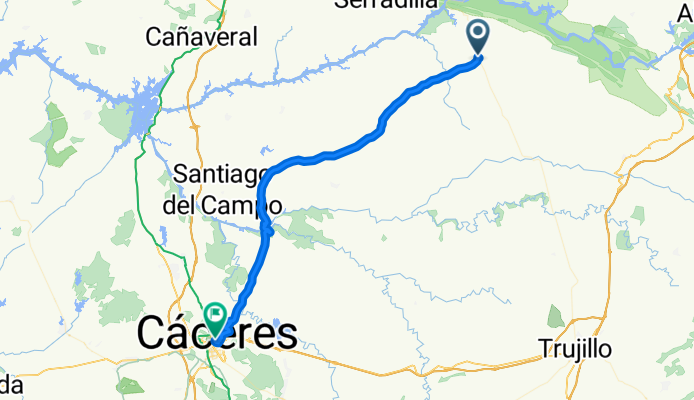
Route to Hotel Don Carlos Caceres
Cycling route in Torrejón el Rubio, Extremadura, Spain
- 55.5 km
- Distance
- 665 m
- Ascent
- 511 m
- Descent

Cáceres to Madroñera
Cycling route in Cáceres, Extremadura, Spain
- 75.9 km
- Distance
- 723 m
- Ascent
- 593 m
- Descent