
D-Route 6 - Danube Route
D-Route 6: Donauroute Hochrhein–Sigmaringen
A collection of 32 cycling routes.
Overview
About this collection
This collection showcases stages of the D-Route 6 between the High Rhine and Sigmaringen. You mostly ride along the water – through the young Danube with its limestone cliffs, forests, and peaceful floodplains. At the end, a view of Sigmaringen Castle awaits you.
Riding feel: mostly asphalted and well maintained, with short gravel and cobblestone sections. The route alternates between bike paths, quiet country roads, trails, and occasional village passages with slightly more traffic. It's perfect for touring bikes, trekking bikes, or gravel bikes – with road bike tires it’s possible with some caution.
Along the way, you pass through nice towns with bakeries and cafés; water and rest spots are easy to find. The landscape is varied: river floodplains, open forests, and the rocky scenery of the Upper Danube provide many photo stops. Those interested can plan a detour to the Danube spring in Donaueschingen – not far from the route area.
Tip: Ride it as a weekend tour or in individual sections, depending on your time and desire. Have fun rolling along the Danube!
- 32
- Routes
- -:--
- Duration
- 95.7 km
- Distance
- ---
- Avg. speed
- 698 m
- Ascent
- 750 m
- Descent
D-Route 6: Donauroute Hochrhein–Sigmaringen
Routes in this collection
All 32 routes in this collection can be opened on the map or in the Bikemap App for more details, where you can adjust them in the route planner, or download them as GPX or KML file. Use them as a template for planning your own rides, or let Bikemap navigate you along them directly.
![D-Route 8 - Rhein-Route [Baden-Württemberg2]](https://media.bikemap.net/routes/16663354/staticmaps/in_83fc55cf-d26a-43ba-9a96-3eb9ac58dc3f_694x400_bikemap-2021-3D-static.png)
D-Route 8 - Rhein-Route [Baden-Württemberg2]
Cycling route in Seglingen, Canton of Zurich, Switzerland
- 2.4 km
- Distance
- 16 m
- Ascent
- 27 m
- Descent

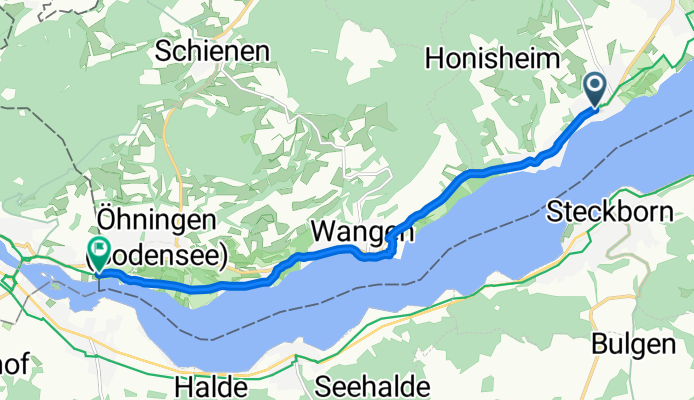
D-Route 8 Rhein-Route: Lottstetten to Seglingen
Cycling route in Lottstetten, Baden-Wurttemberg, Germany
- 7.1 km
- Distance
- 11 m
- Ascent
- 84 m
- Descent
D-Route 8 Rhein-Route: Gaienhofen – Eschenz
Cycling route in Gaienhofen, Baden-Wurttemberg, Germany
- 9.2 km
- Distance
- 79 m
- Ascent
- 91 m
- Descent

D-Route 8 Rhein-Route: Moos to Gaienhofen
Cycling route in Moos, Baden-Wurttemberg, Germany
- 4.8 km
- Distance
- 35 m
- Ascent
- 17 m
- Descent

D-Route 8 – Rhein-Route: Moos–Moos
Cycling route in Moos, Baden-Wurttemberg, Germany
- 2 km
- Distance
- 0 m
- Ascent
- 3 m
- Descent

D-Route 8 Rhein-Route: Radolfzell – Moos
Cycling route in Radolfzell, Baden-Wurttemberg, Germany
- 1.6 km
- Distance
- 7 m
- Ascent
- 5 m
- Descent

D-Route 6 - Donauroute: Radolfzell
Cycling route in Radolfzell, Baden-Wurttemberg, Germany
- 2 km
- Distance
- 33 m
- Ascent
- 17 m
- Descent

D-Route 6 Donauroute: Orsingen-Nenzingen to Steißlingen
Cycling route in Orsingen-Nenzingen, Baden-Wurttemberg, Germany
- 2.6 km
- Distance
- 59 m
- Ascent
- 21 m
- Descent

D-Route 6 Donauroute: Orsingen-Nenzingen – Eigeltingen
Cycling route in Orsingen-Nenzingen, Baden-Wurttemberg, Germany
- 2.4 km
- Distance
- 41 m
- Ascent
- 41 m
- Descent
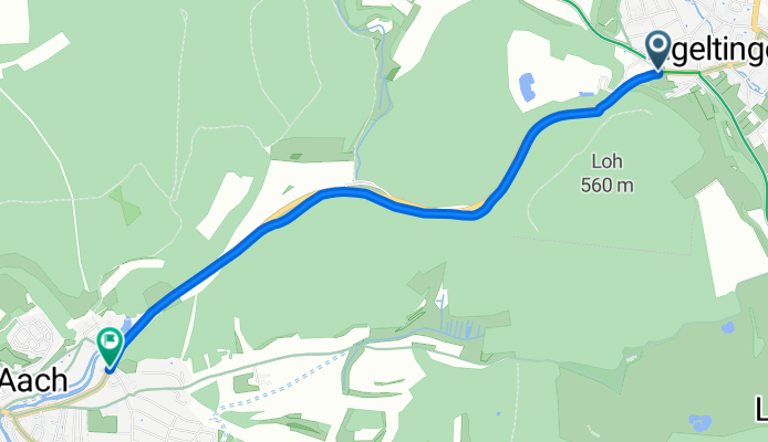
Flädlesuppen-Tour: Aach - Eigeltingen
Cycling route in Aach, Baden-Wurttemberg, Germany
- 3.2 km
- Distance
- 43 m
- Ascent
- 69 m
- Descent

Flädlesuppen-Tour
Cycling route in Aach, Baden-Wurttemberg, Germany
- 1.9 km
- Distance
- 28 m
- Ascent
- 16 m
- Descent

Flädlesuppen-Tour
Cycling route in Engen, Baden-Wurttemberg, Germany
- 3.3 km
- Distance
- 7 m
- Ascent
- 32 m
- Descent