
Route Verte 6 (Québec)
A cycling tour with 4 stages, starting in L'Ancienne-Lorette, Quebec, Canada.
Overview
About this tour
Part of Québec’s Route Verte network, this section of Route Verte 6 is a mostly dedicated cycleway with a lot of loose gravel and some smooth asphalt in the mix. Think greenway vibes with steady, rolling terrain rather than big climbs.
Roughly 90 km end to end, it adds up to around 600 m of elevation gain, so you’ll feel it, but it’s very rideable at a relaxed pace. Expect long gravel stretches, a few short wooden boardwalks or bridges, and plenty of quiet scenery.
Best with wider tires (35–40 mm or more) and a simple toolkit; the surface switches between gravel and pavement often. Bring water and snacks—services can be spaced out depending on where you hop on.
Rideable from late spring to fall for the nicest conditions. Great as a solid day ride or split into an easy overnight if you want to linger.
- 4
- Routes
- -:--
- Duration
- 89.8 km
- Distance
- ---
- Avg. speed
- 604 m
- Ascent
- 400 m
- Descent
Route Verte 6 (Québec)
Stages of this tour
All 4 stages of this tour can be opened on the map or in the Bikemap App for more details, where you can adjust them in the route planner or download them as GPX or KML file. Use them as a template for planning your own tour, or let Bikemap navigate you along them directly.
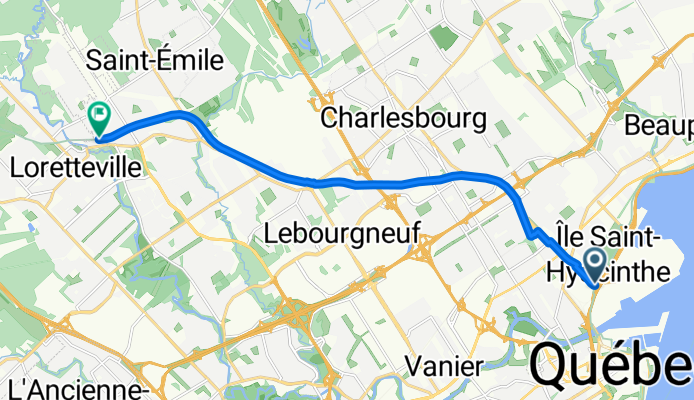
Corridor des Cheminots
Cycling route in L'Ancienne-Lorette, Quebec, Canada
- 12.2 km
- Distance
- 130 m
- Ascent
- 0 m
- Descent
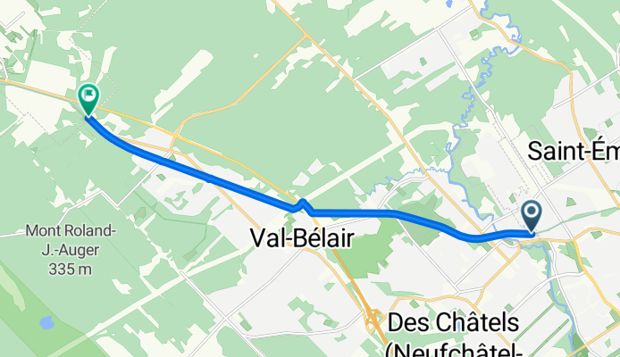
Corridor des Cheminots
Cycling route in Shannon, Quebec, Canada
- 9.5 km
- Distance
- 46 m
- Ascent
- 13 m
- Descent
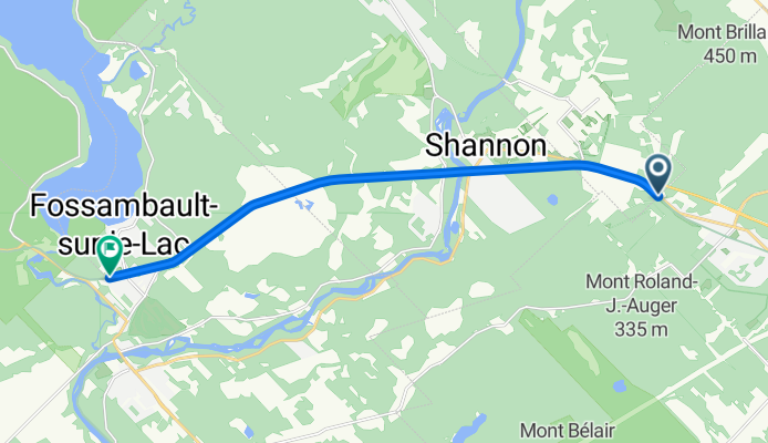
Vélopiste Jacques-Cartier / Portneuf
Cycling route in Sainte Catherine de la Jacques Cartier, Quebec, Canada
- 12.4 km
- Distance
- 24 m
- Ascent
- 32 m
- Descent
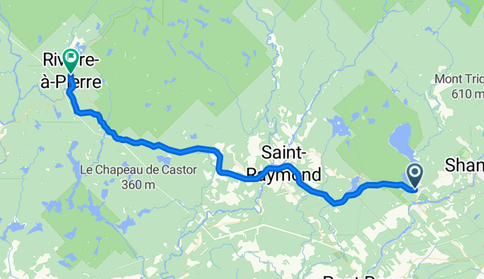
Vélopiste Jacques-Cartier / Portneuf
Cycling route in
- 55.7 km
- Distance
- 404 m
- Ascent
- 356 m
- Descent