
NCN16
UK National Cycle Network Route 16 (NCN 16)
A collection of 7 cycling routes.
Overview
About this collection
A signed NCN route with a relaxed vibe and a good mix of riding. Expect plenty of traffic‑free paths and quiet lanes, with short links on regular roads and the odd town‑centre section. Surfaces vary a lot: mostly asphalt and gravel with some unpaved bits, so wider tires are a plus. It’s gently rolling overall (roughly 300 m of climbing), nothing too spicy, just steady ups and downs.
Great for hybrids, touring, and gravel bikes. Road bikes can manage most of it, but a few rough stretches might feel bumpy. Many parts are family‑friendly thanks to the cycleways, though do watch for brief busy connectors.
You can hop on anywhere along the route and ride a section or make a full day of it. Look for the blue NCN signs with the number 16. Bring lights for urban links and underpasses, and be ready for soft gravel after rain. Check for local diversions before you go and enjoy the mix of green paths and quiet roads.
- 7
- Routes
- -:--
- Duration
- 70.3 km
- Distance
- ---
- Avg. speed
- 285 m
- Ascent
- 274 m
- Descent
UK National Cycle Network Route 16 (NCN 16)
Routes in this collection
All 7 routes in this collection can be opened on the map or in the Bikemap App for more details, where you can adjust them in the route planner, or download them as GPX or KML file. Use them as a template for planning your own rides, or let Bikemap navigate you along them directly.

NCN16: South Benfleet to Canvey Island (proposed)
Cycling route in South Benfleet, England, United Kingdom
- 1.7 km
- Distance
- 0 m
- Ascent
- 0 m
- Descent

NCN16: Canvey Island to Leigh-on-Sea (proposed)
Cycling route in Canvey Island, England, United Kingdom
- 4.6 km
- Distance
- 3 m
- Ascent
- 3 m
- Descent

National Cycle Route 16
- 1.6 km
- Distance
- 13 m
- Ascent
- 11 m
- Descent
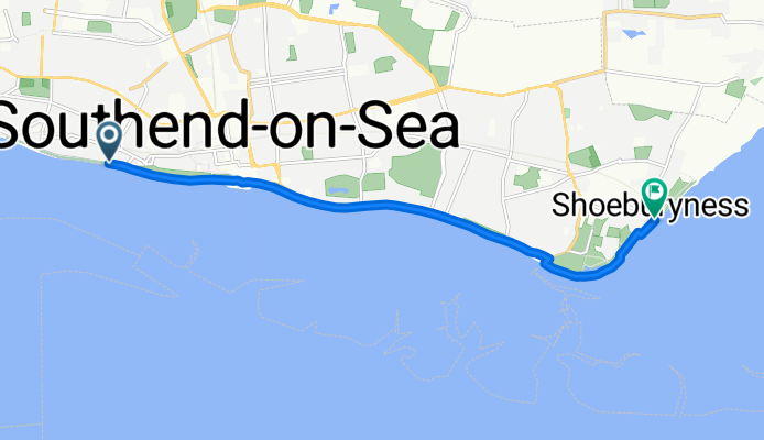
NCN16: Southend-on-Sea to Shoeburyness
- 8.2 km
- Distance
- 33 m
- Ascent
- 34 m
- Descent

NCN16: Great Totham to Witham
Cycling route in Great Totham, England, United Kingdom
- 4.1 km
- Distance
- 4 m
- Ascent
- 61 m
- Descent

NCN16: Witham to Takeley
Cycling route in Witham, England, United Kingdom
- 47.1 km
- Distance
- 225 m
- Ascent
- 150 m
- Descent

NCN16: Basildon to Pitsea
Cycling route in Basildon, England, United Kingdom
- 3.1 km
- Distance
- 7 m
- Ascent
- 15 m
- Descent