
Route du Pied du Jura
Jura Foothills Route (Route du Pied du Jura)
A collection of 12 cycling routes.
Overview
About this collection
A classic ride along the southern edge of the Jura in western Switzerland. This collection follows the signed SwissMobility route across the Jura foothills—about 250 km with roughly 2,200 m of climbing. It’s mostly on quiet, paved roads and dedicated cycleways, with a few farm tracks and short gravel bits, so a touring bike or 35 mm tires feel ideal.
Expect vineyard views, lakeside stretches, and easy-rolling valleys between the Three-Lakes region and the Vaud countryside. Towns come regularly for coffee stops and fountains, and there are train links all along the way if you want to split it into stages.
Navigation is simple: follow the red Swiss cycle signs for Route 50 (Jurasüdfuss / Route du Pied du Jura). Best from spring to autumn. Bring lights for the odd tunnel and some spare water for the rural gaps. Ride it in either direction—winds near the lakes can help or hinder.
If you’re after a relaxed Swiss classic with variety and low traffic, this route delivers.
- 12
- Routes
- -:--
- Duration
- 251.6 km
- Distance
- ---
- Avg. speed
- 2,227 m
- Ascent
- 2,187 m
- Descent
Jura Foothills Route (Route du Pied du Jura)
Routes in this collection
All 12 routes in this collection can be opened on the map or in the Bikemap App for more details, where you can adjust them in the route planner, or download them as GPX or KML file. Use them as a template for planning your own rides, or let Bikemap navigate you along them directly.

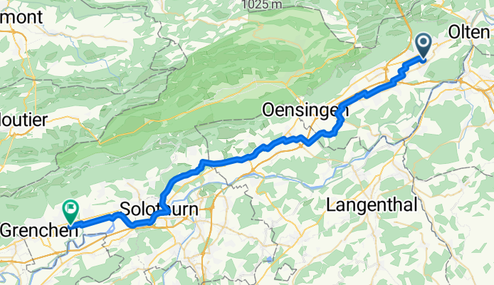
Jurasüdfuss-Route: Hägendorf–Olten
Cycling route in Hägendorf, Canton of Solothurn, Switzerland
- 5.4 km
- Distance
- 35 m
- Ascent
- 7 m
- Descent
Jurasüdfuss-Route: Bettlach - Hägendorf
Cycling route in Bettlach, Canton of Solothurn, Switzerland
- 43.7 km
- Distance
- 237 m
- Ascent
- 221 m
- Descent

Jurasüdfuss-Route: Grenchen – Bettlach
Cycling route in Grenchen, Canton of Solothurn, Switzerland
- 2.8 km
- Distance
- 8 m
- Ascent
- 4 m
- Descent

Jurasüdfuss-Route: Orpund–Grenchen
Cycling route in Orpund, Canton of Bern, Switzerland
- 9.2 km
- Distance
- 37 m
- Ascent
- 42 m
- Descent

Route du Pied du Jura: Orpund – Biel/Bienne
Cycling route in Orpund, Canton of Bern, Switzerland
- 2.2 km
- Distance
- 12 m
- Ascent
- 3 m
- Descent

Jurasüdfuss-Route: Biel/Bienne – Neuchâtel
Cycling route in Biel/Bienne, Canton of Bern, Switzerland
- 40.3 km
- Distance
- 296 m
- Ascent
- 303 m
- Descent

Route du Pied du Jura: Saint-Aubin-Sauges → Neuchâtel
Cycling route in Saint-Aubin-Sauges, Canton of Neuchâtel, Switzerland
- 21.6 km
- Distance
- 176 m
- Ascent
- 138 m
- Descent

Route du Pied du Jura: Yvonand – Saint-Aubin-Sauges
Cycling route in Yvonand, Canton of Vaud, Switzerland
- 6.8 km
- Distance
- 91 m
- Ascent
- 122 m
- Descent

Route du Pied du Jura: Yvonand – Yverdon-les-Bains
Cycling route in Yvonand, Canton of Vaud, Switzerland
- 12.8 km
- Distance
- 49 m
- Ascent
- 51 m
- Descent

Route du pied du Jura - Étape 4
Cycling route in Mollens, Canton of Vaud, Switzerland
- 44.5 km
- Distance
- 661 m
- Ascent
- 369 m
- Descent

Route du pied du Jura - Étape 4
Cycling route in Bière, Canton of Vaud, Switzerland
- 4.8 km
- Distance
- 39 m
- Ascent
- 61 m
- Descent

Route du Pied du Jura - Étape 5
Cycling route in Saubraz, Canton of Vaud, Switzerland
- 57.4 km
- Distance
- 588 m
- Ascent
- 867 m
- Descent