
Pan Am Path, Toronto
A collection of 9 cycling routes.A cross-city ride linking Toronto’s ravines and waterfront, created for the 2015 Pan Am/Parapan Am Games. The Pan Am Path runs roughly 80 km from the Humber River in the west to Rouge Park in the east, weaving through the Waterfront Trail, Don Valley, Taylor Creek, and Highland Creek. It’s mostly paved multi-use paths and dedicated cycleways, with a few short on-road links and the odd bit of gravel or boardwalk. Mostly flat, with quick dips and climbs in the ravines. Wayfinding can be patchy in spots, so a map or GPS track helps. Highlights: river views, shady forests, murals and public art, parks and beaches, and tons of neighborhood pit stops. Ride a section or go end-to-end—there are plenty of access points and transit options nearby. Bring a bell and lights for shared trails and underpasses, and be ready to dismount at the rare stair or tight pinch point. Great for sightseeing, fitness spins, and weekend explore rides.
- 9
- Routes
- -:--
- Duration
- 100.2 km
- Distance
- ---
- Avg. speed
- 800 m
- Ascent
- 761 m
- Descent

Cycling route in Ajax, Ontario, Canada
- 17.9 km
- Distance
- 203 m
- Ascent
- 126 m
- Descent

Cycling route in Scarborough, Ontario, Canada
- 6.9 km
- Distance
- 28 m
- Ascent
- 34 m
- Descent

Cycling route in Scarborough, Ontario, Canada
- 5.7 km
- Distance
- 21 m
- Ascent
- 77 m
- Descent
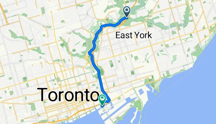
Cycling route in Toronto, Ontario, Canada
- 8.8 km
- Distance
- 48 m
- Ascent
- 64 m
- Descent

Cycling route in Toronto, Ontario, Canada
- 4.8 km
- Distance
- 58 m
- Ascent
- 50 m
- Descent

Cycling route in Toronto, Ontario, Canada
- 31.3 km
- Distance
- 278 m
- Ascent
- 235 m
- Descent

Cycling route in Etobicoke, Ontario, Canada
- 14.6 km
- Distance
- 104 m
- Ascent
- 93 m
- Descent

Cycling route in Etobicoke, Ontario, Canada
- 5.1 km
- Distance
- 39 m
- Ascent
- 33 m
- Descent

Cycling route in Etobicoke, Ontario, Canada
- 5.2 km
- Distance
- 21 m
- Ascent
- 49 m
- Descent