
NCN National Route 21
UK NCN Route 21
A collection of 7 cycling routes.
Overview
About this collection
NCN Route 21 links London to the Sussex coast, running roughly 145 km from Greenwich to Eastbourne. It blends traffic‑free paths with quiet roads: roll out on the Waterlink Way in southeast London, then pick up the Worth Way to East Grinstead, the Forest Way through the Weald, and the Cuckoo Trail down to Polegate before finishing by the sea in Eastbourne.
Most of it’s paved, with some easy gravel sections—great for hybrids and touring setups. The riding is flat leaving London, gently rolling through Surrey and Kent, and there’s a short, punchy climb near the South Downs before the seaside payoff.
It’s super flexible thanks to frequent rail links (think East Croydon, Redhill, Crawley, East Grinstead, Polegate), so you can break it into day rides or bail if the weather turns. Expect parks, woodland, and old railway paths, plus a dash of urban buzz at the start. Ideal for a coastbound adventure or family‑friendly traffic‑free chunks if you’re short on time.
- 7
- Routes
- -:--
- Duration
- 164.1 km
- Distance
- ---
- Avg. speed
- 1,615 m
- Ascent
- 1,243 m
- Descent
UK NCN Route 21
Routes in this collection
All 7 routes in this collection can be opened on the map or in the Bikemap App for more details, where you can adjust them in the route planner, or download them as GPX or KML file. Use them as a template for planning your own rides, or let Bikemap navigate you along them directly.

NCN 21: Canary Wharf to Blackheath
Cycling route in Canary Wharf, England, United Kingdom
- 3 km
- Distance
- 6 m
- Ascent
- 6 m
- Descent

NCN 21: Blackheath to Biggin Hill
Cycling route in Blackheath, England, United Kingdom
- 22.5 km
- Distance
- 223 m
- Ascent
- 57 m
- Descent

NCN 21: Horley to Biggin Hill
Cycling route in Horley, England, United Kingdom
- 33.4 km
- Distance
- 309 m
- Ascent
- 427 m
- Descent
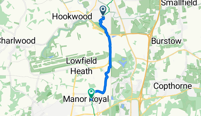
NCN 21: Horley to Langley Green
Cycling route in Horley, England, United Kingdom
- 5.1 km
- Distance
- 15 m
- Ascent
- 10 m
- Descent
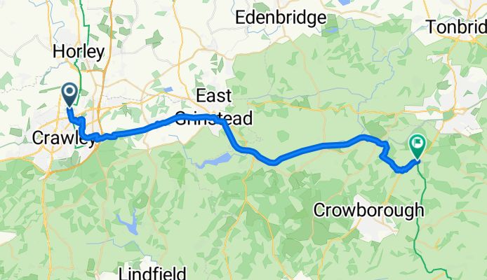
NCN 21: Langley Green to Rusthall
Cycling route in Langley Green, England, United Kingdom
- 36.2 km
- Distance
- 257 m
- Ascent
- 235 m
- Descent

NCN 21: Rusthall to Pevensey
Cycling route in Rusthall, England, United Kingdom
- 51.9 km
- Distance
- 419 m
- Ascent
- 504 m
- Descent
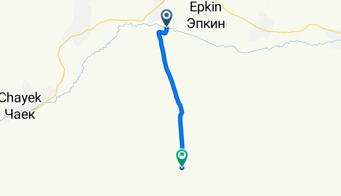
National Cycle Route 21
Cycling route in Chayek, Naryn Region, Kyrgyzstan
- 12 km
- Distance
- 385 m
- Ascent
- 5 m
- Descent