
11 (super)
Cycle Route 11 (Superroute)
A collection of 19 cycling routes.
Overview
About this collection
Route 11 as a superroute: a collection of cycling segments you can ride end to end or dip into for shorter spins. It’s mostly paved (lots of asphalt and concrete), with some stretches of gravel and other unpaved bits. Expect plenty of dedicated cycleways and quiet roads, with short links on busier streets. You might also hit the odd path, pedestrian area, a few steps, and small wood or metal bridges.
There’s no fixed start or finish—join wherever works for you. Terrain and signage can vary by section, so keep a map handy. A comfy touring or commuter bike with 32–40 mm tires is ideal; lights and a bell help on the busier connectors. If you’re following a GPX, watch for occasional gaps where data might be missing.
Great for day rides, commuting, or piecing together a longer tour. Pick a stretch that fits your time and mood, and roll.
- 19
- Routes
- -:--
- Duration
- 840.6 km
- Distance
- ---
- Avg. speed
- 7,390 m
- Ascent
- 7,917 m
- Descent
Cycle Route 11 (Superroute)
Routes in this collection
All 19 routes in this collection can be opened on the map or in the Bikemap App for more details, where you can adjust them in the route planner, or download them as GPX or KML file. Use them as a template for planning your own rides, or let Bikemap navigate you along them directly.
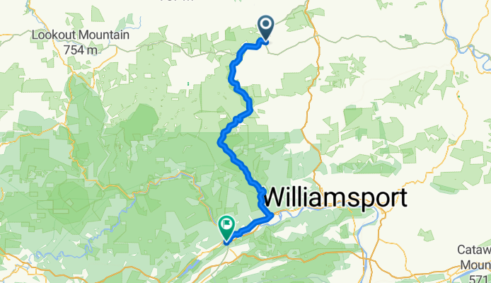
Stage 11: Mill Hall to Wellsboro
Cycling route in Mill Hall, Pennsylvania, United States
- 122 km
- Distance
- 940 m
- Ascent
- 1,141 m
- Descent

Stage 11: Sunbury to Mill Hall
Cycling route in Sunbury, Pennsylvania, United States
- 99.9 km
- Distance
- 986 m
- Ascent
- 1,004 m
- Descent

Stage 11: Selinsgrove to Sunbury
Cycling route in Selinsgrove, Pennsylvania, United States
- 23.2 km
- Distance
- 296 m
- Ascent
- 323 m
- Descent
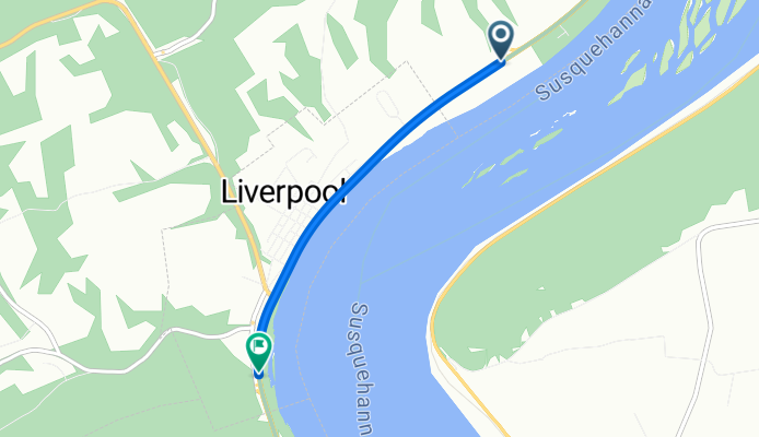
11: Millersburg, Pennsylvania
Cycling route in Millersburg, Pennsylvania, United States
- 3.2 km
- Distance
- 10 m
- Ascent
- 0 m
- Descent

11: Newport to Matamoras
Cycling route in Newport, Pennsylvania, United States
- 34.3 km
- Distance
- 456 m
- Ascent
- 460 m
- Descent

Stage 11: Valley Green to Newport (PA)
Cycling route in Valley Green, Pennsylvania, United States
- 101.1 km
- Distance
- 1,447 m
- Ascent
- 1,405 m
- Descent

Stage 11: West York to Valley Green
Cycling route in West York, Pennsylvania, United States
- 32.1 km
- Distance
- 271 m
- Ascent
- 311 m
- Descent

Stage 11: Biglerville to West York
Cycling route in Biglerville, Pennsylvania, United States
- 39.5 km
- Distance
- 327 m
- Ascent
- 281 m
- Descent

Stage 11: Guilford Siding to Biglerville
Cycling route in Guilford Siding, Pennsylvania, United States
- 43.7 km
- Distance
- 518 m
- Ascent
- 446 m
- Descent

11: State Line to Guilford Siding
Cycling route in State Line, Pennsylvania, United States
- 21.3 km
- Distance
- 62 m
- Ascent
- 115 m
- Descent

11: State Line to Maugansville
Cycling route in State Line, Pennsylvania, United States
- 5.1 km
- Distance
- 9 m
- Ascent
- 11 m
- Descent

11: Maugansville to Bolivar
Cycling route in Maugansville, Maryland, United States
- 56.2 km
- Distance
- 528 m
- Ascent
- 636 m
- Descent