
Ice Age Trail
Ice Age Cycle Route
A collection of 4 cycling routes.
Overview
About this collection
Ride through landscapes carved by the last Ice Age—think moraines, kettle lakes, and giant erratic boulders—linked by a mix of quiet roads, forest tracks, and bike paths. Most sections roll on smooth asphalt, with regular stretches of gravel and some paving stones or cobbles through villages and old lanes. A touring or gravel bike is ideal; road bikes are fine if you don’t mind a few rough patches.
This collection is easy to dip into: spin a short lake loop, follow a geo-themed segment, or stitch together a full-day ride. You’ll hit a few brief busy-road connectors, so lights and a bit of traffic sense help. After rain the unpaved bits can get soft—wider tires (32–40 mm) make it comfy.
Keep an eye out for viewpoints on glacial ridges, small local museums, and picnic spots by the water. Best from spring to autumn. Download the route, take your time, and enjoy a relaxed roll through deep-time scenery.
- 4
- Routes
- -:--
- Duration
- 85.2 km
- Distance
- ---
- Avg. speed
- 573 m
- Ascent
- 570 m
- Descent
Ice Age Cycle Route
Routes in this collection
All 4 routes in this collection can be opened on the map or in the Bikemap App for more details, where you can adjust them in the route planner, or download them as GPX or KML file. Use them as a template for planning your own rides, or let Bikemap navigate you along them directly.

Eiszeitroute: Rechlin Zubringer
Cycling route in Rechlin, Mecklenburg-Vorpommern, Germany
- 5.3 km
- Distance
- 53 m
- Ascent
- 50 m
- Descent

Eiszeitroute (Rundroute 1)
Cycling route in Borrentin, Mecklenburg-Vorpommern, Germany
- 13.1 km
- Distance
- 50 m
- Ascent
- 67 m
- Descent
Eiszeitroute (Rundroute 5)
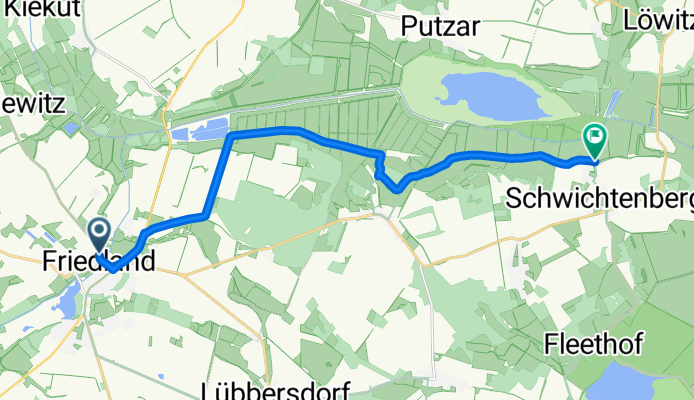
Cycling route in Friedland, Mecklenburg-Vorpommern, Germany
- 13 km
- Distance
- 19 m
- Ascent
- 25 m
- Descent

Eiszeitroute (Rundroute 4)
Cycling route in Strasburg, Mecklenburg-Vorpommern, Germany
- 53.8 km
- Distance
- 451 m
- Ascent
- 429 m
- Descent