
Great Vaucluse Traverse by Mountain Bike
Vaucluse MTB Grand Traverse
A collection of 12 cycling routes.
Overview
About this collection
A classic Provence crossing on dirt. This GT VTT route links the best of Vaucluse: the flanks of Mont Ventoux, the Dentelles de Montmirail, and the Luberon. Expect a mostly off‑road mix of forest tracks, rocky singletrack, and gravel farm roads, with short stretches of quiet lanes between villages.
It’s a big, punchy ride with plenty of climbing and rough limestone sections, so it suits fit, confident riders. Highlights include lavender country around Sault, the ochre cliffs near Roussillon, vineyards around Gigondas, and perched villages like Gordes and Bonnieux. On clear days you’ll get wide views toward the Alps.
Best seasons are spring and autumn; summer can be oven‑hot and dry. Resupply is easy in towns like Avignon, Carpentras, and Apt, plus lots of smaller villages along the way. A hardtail or short‑travel MTB with tough tires (2.2–2.4) is ideal. The traverse follows established GT VTT signage in places, but bring a GPS track for the links and variations. Watch for temporary closures near Ventoux in fire season and be cool with hikers and local farm traffic.
Tackle the full traverse over a few days, or pick signature sections: Ventoux’s lower slopes from Bédoin/Malaucène for techy fun, or Luberon loops from Apt for fast rolling trails and big views.
- 12
- Routes
- -:--
- Duration
- 327.9 km
- Distance
- ---
- Avg. speed
- 12,449 m
- Ascent
- 12,332 m
- Descent
Vaucluse MTB Grand Traverse
Routes in this collection
All 12 routes in this collection can be opened on the map or in the Bikemap App for more details, where you can adjust them in the route planner, or download them as GPX or KML file. Use them as a template for planning your own rides, or let Bikemap navigate you along them directly.
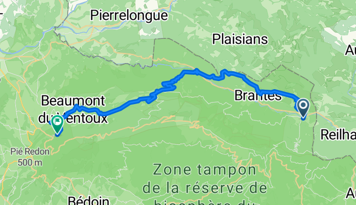
GTV VTT Étape 1 : Sault → Malaucène
Cycling route in Sault, Provence-Alpes-Côte d'Azur Region, France
- 30.5 km
- Distance
- 1,717 m
- Ascent
- 1,779 m
- Descent

GTV VTT Étape 2 : Caromb => Malaucène
Cycling route in Caromb, Provence-Alpes-Côte d'Azur Region, France
- 30.9 km
- Distance
- 1,480 m
- Ascent
- 1,593 m
- Descent

GTV VTT: Bédoin → Caromb
Cycling route in Bédoin, Provence-Alpes-Côte d'Azur Region, France
- 11.3 km
- Distance
- 416 m
- Ascent
- 257 m
- Descent

GTV VTT Étape 3 : Bédoin → Sault
Cycling route in Bédoin, Provence-Alpes-Côte d'Azur Region, France
- 48.8 km
- Distance
- 2,336 m
- Ascent
- 1,928 m
- Descent

GTV VTT Étape 4: Sault -> Sault
Cycling route in Sault, Provence-Alpes-Côte d'Azur Region, France
- 6.3 km
- Distance
- 57 m
- Ascent
- 108 m
- Descent

GTV VTT Étape 4: Sault → Saint-Saturnin-lès-Apt
Cycling route in Sault, Provence-Alpes-Côte d'Azur Region, France
- 53.1 km
- Distance
- 1,715 m
- Ascent
- 1,544 m
- Descent

GTV VTT Étape 5 : Venasque -> Saint-Saturnin-lès-Apt
Cycling route in Venasque, Provence-Alpes-Côte d'Azur Region, France
- 45 km
- Distance
- 1,441 m
- Ascent
- 1,357 m
- Descent

GTV VTT: Lagnes -> Venasque
Cycling route in Lagnes, Provence-Alpes-Côte d'Azur Region, France
- 9.9 km
- Distance
- 249 m
- Ascent
- 629 m
- Descent

GTV VTT Étape 6 : Lagnes => Lagnes
Cycling route in Lagnes, Provence-Alpes-Côte d'Azur Region, France
- 4.4 km
- Distance
- 163 m
- Ascent
- 127 m
- Descent

GTV VTT: Lauris → Bonnieux
Cycling route in Lauris, Provence-Alpes-Côte d'Azur Region, France
- 10.7 km
- Distance
- 360 m
- Ascent
- 471 m
- Descent

GTV VTT Étape 8 : Bonnieux → La Bastide-des-Jourdans
Cycling route in Bonnieux, Provence-Alpes-Côte d'Azur Region, France
- 37.1 km
- Distance
- 1,486 m
- Ascent
- 1,328 m
- Descent

GTV VTT Étape 7: Saint-Saturnin-lès-Apt -> La Bastide-des-Jourdans
Cycling route in Saint-Saturnin-lès-Apt, Provence-Alpes-Côte d'Azur Region, France
- 40 km
- Distance
- 1,030 m
- Ascent
- 1,212 m
- Descent