
2 Rivers Tour, Master
2-Flüsse-Tour
A collection of 4 cycling routes.
Overview
About this collection
Two rivers, one tour: This collection summarizes the variants of the 2-rivers tour. The character: mostly asphalt and paved paths, with a very short unpaved/track section. Mostly you roll on quiet roads, with a few kilometers on busier sections in between – ride attentively and defensively here.
Profile: noticeable but manageable elevation gain (around 900 m depending on the variant). This makes the route suitable for sporty beginners up to experienced touring cyclists. Road bike, trekking bike or light gravel fits well.
Start and finish are flexible. Bring enough water and plan breaks. Lights and good visibility are advisable for sections on main roads.
In short: a versatile river tour with lots of asphalt, a relaxed pace, and a few challenging climbs.
- 4
- Routes
- -:--
- Duration
- 67 km
- Distance
- ---
- Avg. speed
- 931 m
- Ascent
- 878 m
- Descent
2-Flüsse-Tour
Routes in this collection
All 4 routes in this collection can be opened on the map or in the Bikemap App for more details, where you can adjust them in the route planner, or download them as GPX or KML file. Use them as a template for planning your own rides, or let Bikemap navigate you along them directly.

2-Flüsse Tour: Großklein – Gleinstätten
Cycling route in Großklein, Styria, Austria
- 7.2 km
- Distance
- 14 m
- Ascent
- 26 m
- Descent

2-Flüsse Tour: Gleinstätten – Großklein
Cycling route in Gleinstätten, Styria, Austria
- 41.8 km
- Distance
- 436 m
- Ascent
- 422 m
- Descent

2-Flüsse Tour, Alternative: Oberhaag nach Gleinstätten
Cycling route in Oberhaag, Styria, Austria
- 7 km
- Distance
- 197 m
- Ascent
- 145 m
- Descent
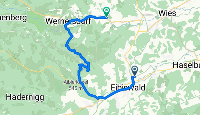
2-Flüsse Tour – Alternative: Wernersdorf nach Eibiswald
Cycling route in Wernersdorf, Styria, Austria
- 11 km
- Distance
- 284 m
- Ascent
- 285 m
- Descent