
Waterfront Trail: Lake Huron
Waterfront Trail: Northern Ontario
A collection of 9 cycling routes.
Overview
About this collection
Big-lake views, long horizons, and plenty of fresh air—this collection covers the Northern Ontario section of the Waterfront Trail. It links lakeside communities, parks, and quiet stretches of road, making it great for relaxed day rides or stitched-together touring. Expect a mix of surfaces: mostly paved with some gravel and hard-packed bits, plus occasional paths and short urban sections. The riding is largely on quiet roads, with some busier connections and solid chunks of dedicated cycleway in towns. Terrain rolls enough to keep things interesting without being extreme. A few tips: services can be spread out, so plan food and water; winds off the water can swing fast; bring layers and lights, and consider slightly wider tires for the unpaved sections. Do it in stages, or link multiple segments for a bigger adventure—either way, you’ll get classic Northern Ontario scenery with plenty of room to roam.
- 9
- Routes
- -:--
- Duration
- 365.4 km
- Distance
- ---
- Avg. speed
- 1,865 m
- Ascent
- 1,805 m
- Descent
Waterfront Trail: Northern Ontario
Routes in this collection
All 9 routes in this collection can be opened on the map or in the Bikemap App for more details, where you can adjust them in the route planner, or download them as GPX or KML file. Use them as a template for planning your own rides, or let Bikemap navigate you along them directly.

Waterfront Trail: Northern Ontario — Elliot Lake to Greater Sudbury
Cycling route in Elliot Lake, Ontario, Canada
- 142.4 km
- Distance
- 847 m
- Ascent
- 775 m
- Descent

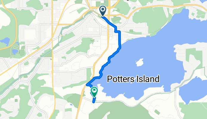
Waterfront Trail Northern Ontario: Sudbury Southview (Trans Canada Trail), Greater Sudbury to Greater Sudbury
Cycling route in Greater Sudbury, Ontario, Canada
- 8.4 km
- Distance
- 54 m
- Ascent
- 59 m
- Descent

Trans Canada Trail – Sudbury West, Greater Sudbury (Waterfront Trail: Northern Ontario)
Cycling route in Greater Sudbury, Ontario, Canada
- 8.6 km
- Distance
- 20 m
- Ascent
- 24 m
- Descent
Waterfront Trail Northern Ontario: Trans Canada Trail – Sudbury West, Greater Sudbury
Cycling route in Greater Sudbury, Ontario, Canada
- 3 km
- Distance
- 24 m
- Ascent
- 25 m
- Descent

Waterfront Trail: Northern Ontario — Blind River to The North Shore
- 28.4 km
- Distance
- 136 m
- Ascent
- 148 m
- Descent

Trans Canada Trail (Blind River to Sault Ste. Marie)
- 60.7 km
- Distance
- 232 m
- Ascent
- 231 m
- Descent

Waterfront Trail: Northern Ontario – Sault Ste. Marie to Thessalon
Cycling route in Sault Ste. Marie, Ontario, Canada
- 91.6 km
- Distance
- 452 m
- Ascent
- 453 m
- Descent

Waterfront Trail Northern Ontario: Sault Ste. Marie to Sault Ste. Marie - Hub Trail
Cycling route in Sault Ste. Marie, Ontario, Canada
- 11 km
- Distance
- 12 m
- Ascent
- 71 m
- Descent

Waterfront Trail Northern Ontario: Sault Ste. Marie Hub Trail
Cycling route in Sault Ste. Marie, Michigan, United States
- 11.3 km
- Distance
- 88 m
- Ascent
- 19 m
- Descent