
90 (super)
Cycle Route 90 (Super)
A collection of 13 cycling routes.
Overview
About this collection
A curated OSM collection for riders following the 90 (Super) routes. It strings together mostly paved roads (asphalt and concrete) with very little unpaved, plus a few short cycleway stretches. Expect plenty of time on busy roads mixed with quieter streets, so it’s best for confident riders on road or touring bikes. Start anywhere and ride a segment, link a few for a longer day, or use parts for commuting. Dedicated bike paths are limited, so lights and bright gear help, and riding off‑peak feels better. The terrain isn’t pan-flat—there are some ups and downs. Mapping details are incomplete in spots, so double‑check your line and local conditions before you roll.
- 13
- Routes
- -:--
- Duration
- 641.8 km
- Distance
- ---
- Avg. speed
- 1,967 m
- Ascent
- 2,040 m
- Descent
Cycle Route 90 (Super)
Routes in this collection
All 13 routes in this collection can be opened on the map or in the Bikemap App for more details, where you can adjust them in the route planner, or download them as GPX or KML file. Use them as a template for planning your own rides, or let Bikemap navigate you along them directly.

90: Pine Prairie to DeRidder
Cycling route in Pine Prairie, Louisiana, United States
- 152.9 km
- Distance
- 392 m
- Ascent
- 420 m
- Descent
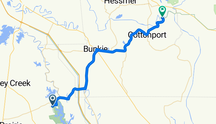
90: Mansura to Pine Prairie
Cycling route in Mansura, Louisiana, United States
- 45.4 km
- Distance
- 79 m
- Ascent
- 94 m
- Descent

90: Simmesport to Mansura
Cycling route in Simmesport, Louisiana, United States
- 25.8 km
- Distance
- 18 m
- Ascent
- 20 m
- Descent

90: Simmesport to Melville
Cycling route in Simmesport, Louisiana, United States
- 46.7 km
- Distance
- 86 m
- Ascent
- 89 m
- Descent

90: Melville to Jackson
Cycling route in Melville, Louisiana, United States
- 64.5 km
- Distance
- 281 m
- Ascent
- 247 m
- Descent

90: Jackson to Greensburg
Cycling route in Jackson, Louisiana, United States
- 69.5 km
- Distance
- 415 m
- Ascent
- 380 m
- Descent

90: Greensburg to Franklinton
Cycling route in Greensburg, Louisiana, United States
- 56.4 km
- Distance
- 287 m
- Ascent
- 319 m
- Descent

90: Franklinton to Bogalusa
Cycling route in Franklinton, Louisiana, United States
- 41.8 km
- Distance
- 139 m
- Ascent
- 161 m
- Descent

90 (Mississippi)
Cycling route in Poplarville, Mississippi, United States
- 3.2 km
- Distance
- 11 m
- Ascent
- 15 m
- Descent

90: Bayou La Batre to Grand Bay
Cycling route in Bayou La Batre, Alabama, United States
- 20.4 km
- Distance
- 56 m
- Ascent
- 56 m
- Descent

90 (Alabama)
Cycling route in Gulf Shores, Alabama, United States
- 71.7 km
- Distance
- 105 m
- Ascent
- 97 m
- Descent

90 (Alabama)
- 5 km
- Distance
- 7 m
- Ascent
- 7 m
- Descent