
Alpine Crossing Cycle Route
Traversée des Alpes à vélo
A collection of 4 cycling routes.
Overview
About this collection
This collection features a long cycling crossing of the Alps: passes, valleys, and lakes on the menu, with significant elevation gain and stunning views. The route mostly follows quiet roads and cycle paths, with some stretches on busier roads and short trails. The surface is mainly asphalt, but you may encounter some cobblestones and metal sections (bridges/grills). Bring low gears and good brakes, and keep an eye on the weather and pass conditions. A touring or gravel bike works very well. Bring warm layers, lights for tunnels, and food to fuel you between villages. Easy to split into stages by valley or pass, with plenty of train access in the major valleys. Perfect if you enjoy climbing and rewarding descents.
- 4
- Routes
- -:--
- Duration
- 83 km
- Distance
- ---
- Avg. speed
- 801 m
- Ascent
- 597 m
- Descent
Traversée des Alpes à vélo
Routes in this collection
All 4 routes in this collection can be opened on the map or in the Bikemap App for more details, where you can adjust them in the route planner, or download them as GPX or KML file. Use them as a template for planning your own rides, or let Bikemap navigate you along them directly.

Véloroute Trans'Alpes: Gap → Sisteron (Véloroute de la traversée des Alpes)
Cycling route in Gap, Provence-Alpes-Côte d'Azur Region, France
- 55.9 km
- Distance
- 756 m
- Ascent
- 453 m
- Descent

Véloroute de la traversée des Alpes — Gap à Gap
Cycling route in Gap, Provence-Alpes-Côte d'Azur Region, France
- 4.3 km
- Distance
- 23 m
- Ascent
- 57 m
- Descent
Véloroute de la traversée des Alpes: Le Pont-de-Claix → Allières-et-Risset
Cycling route in Le Pont-de-Claix, Auvergne-Rhône-Alpes, France
- 4.5 km
- Distance
- 4 m
- Ascent
- 35 m
- Descent

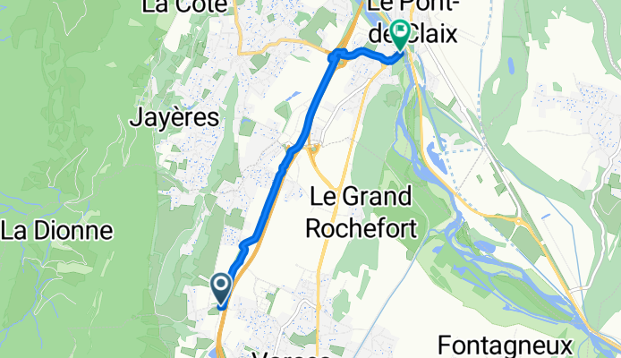
Véloroute de la traversée des Alpes: Claix – Veurey-Voroize
Cycling route in Claix, Auvergne-Rhône-Alpes, France
- 18.3 km
- Distance
- 18 m
- Ascent
- 51 m
- Descent