
Eastern Swiss Wine Route
Ostschweizer Wein-Route
A collection of 5 cycling routes.
Overview
About this collection
Vines, hills, villages – the Eastern Switzerland Wine Route is a pleasure cycling experience through one of the most beautiful wine regions of Switzerland. A rolling profile with over 1,000 m of climbing provides variety: gentle ascents, fast descents, and constant views over fields and vineyards.
The surface is mostly paved, with notable sections on gravel and natural paths. The route mostly follows quiet secondary roads and field paths; short stretches on busier roads are possible. Ideal for touring bikes, e-bikes, and gravel bikes; road bikes work best with slightly wider tires.
Perfect for day trips or as a short stage journey – you can flexibly combine the sections. Along the way, wineries, cozy villages, and picnic spots among the vines beckon. Spring through autumn is the best time: blooming orchards, green summer, or golden autumn with the grape harvest atmosphere.
Tip: Bring enough water, check your brakes for the descents, and keep a good line on main roads. And plan time for a pleasurable stop in the wine cellar – after all, the route is not called the Wine Route for nothing.
- 5
- Routes
- -:--
- Duration
- 89.9 km
- Distance
- ---
- Avg. speed
- 1,134 m
- Ascent
- 843 m
- Descent
Ostschweizer Wein-Route
Routes in this collection
All 5 routes in this collection can be opened on the map or in the Bikemap App for more details, where you can adjust them in the route planner, or download them as GPX or KML file. Use them as a template for planning your own rides, or let Bikemap navigate you along them directly.

Ostschweizer Wein-Route – Etappe 1: Schaffhausen–Flurlingen
Cycling route in Schaffhausen, Canton of Schaffhausen, Switzerland
- 2.8 km
- Distance
- 42 m
- Ascent
- 46 m
- Descent

Ostschweizer Wein-Route - Etappe 1
Cycling route in Flurlingen, Canton of Zurich, Switzerland
- 44.2 km
- Distance
- 455 m
- Ascent
- 422 m
- Descent
Ostschweizer Wein-Route - Etappe 1
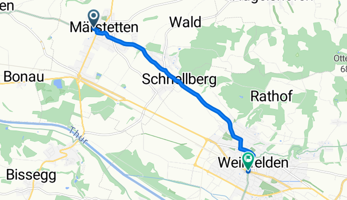
Cycling route in Märstetten-Dorf, Thurgau, Switzerland
- 5 km
- Distance
- 71 m
- Ascent
- 57 m
- Descent

Ostschweizer Wein-Route - Etappe 2
Cycling route in Herisau, Canton of Appenzell Ausserrhoden, Switzerland
- 31 km
- Distance
- 462 m
- Ascent
- 226 m
- Descent

Ostschweizer Wein-Route - Etappe 2
Cycling route in St. Gallen, Canton of St. Gallen, Switzerland
- 6.9 km
- Distance
- 105 m
- Ascent
- 91 m
- Descent