
Cycle Route 66 (Super)
A collection of 31 cycling routes.A handy collection of Route 66 segments that’s mostly smooth and paved, with a few short gravel and unpaved bits in the mix. Expect a blend of dedicated cycleways and regular roads—some quiet, some busier—plus occasional tracks and pedestrian areas. It works well for everyday spins, commuting, or linking sections into a longer ride. 28 mm+ tires keep things comfy on the rough patches, and lights help on traffic-heavy stretches. Surfaces skew asphalt and concrete, so most of it rolls fast; the unpaved sections are brief and manageable. Use this set to build flexible loops or point-to-point rides, picking the cycleway-heavy pieces if you want a calmer route and adding road sections when you’re up for it. Check local rules, watch junctions, and enjoy the flowy paved miles.
- 31
- Routes
- -:--
- Duration
- 912.4 km
- Distance
- ---
- Avg. speed
- 6,737 m
- Ascent
- 6,263 m
- Descent

Cycling route in Maplewood, Missouri, United States
- 33.4 km
- Distance
- 176 m
- Ascent
- 151 m
- Descent

Cycling route in Pacific, Missouri, United States
- 59.6 km
- Distance
- 693 m
- Ascent
- 700 m
- Descent

Cycling route in Saint Clair, Missouri, United States
- 32.1 km
- Distance
- 352 m
- Ascent
- 266 m
- Descent

Cycling route in Sullivan, Missouri, United States
- 11.7 km
- Distance
- 110 m
- Ascent
- 81 m
- Descent

Cycling route in Bourbon, Missouri, United States
- 21.9 km
- Distance
- 168 m
- Ascent
- 140 m
- Descent

Cycling route in Cuba, Missouri, United States
- 17.4 km
- Distance
- 172 m
- Ascent
- 149 m
- Descent

Cycling route in Rolla, Missouri, United States
- 36.1 km
- Distance
- 197 m
- Ascent
- 159 m
- Descent
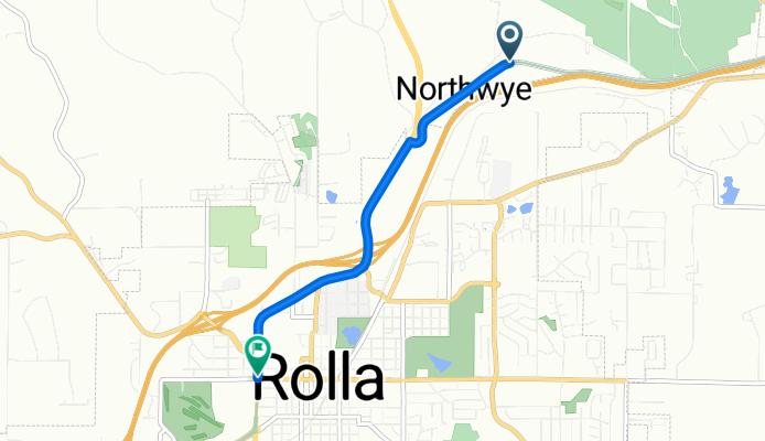
Cycling route in Rolla, Missouri, United States
- 4.4 km
- Distance
- 26 m
- Ascent
- 41 m
- Descent

Cycling route in Saint Robert, Missouri, United States
- 40 km
- Distance
- 587 m
- Ascent
- 592 m
- Descent

Cycling route in Waynesville, Missouri, United States
- 9.8 km
- Distance
- 73 m
- Ascent
- 161 m
- Descent

Cycling route in Richland, Missouri, United States
- 26.4 km
- Distance
- 268 m
- Ascent
- 213 m
- Descent

Cycling route in Lebanon, Missouri, United States
- 15.5 km
- Distance
- 174 m
- Ascent
- 137 m
- Descent