
Cycling Network NRW, Rheinisch-Bergischer District
Radverkehrsnetz NRW – Rheinisch-Bergischer Kreis
A collection of 3 cycling routes.
Overview
About this collection
Official NRW routes in the Rheinisch-Bergischer Kreis: hilly Bergisches Land just east of Cologne, with plenty of forest, stream valleys, and wide views. The routes mix quiet side roads, farm and forest paths with short sections on busier roads and through pedestrian areas.
The surface varies – mostly asphalt, with gravel and some cobblestones. Trekking and gravel bikes are at home here; road bikes usually manage too, but on unpaved sections it's better to be cautious or choose an alternative. Typical for the area: noticeable climbs and fast descents – a bit of energy in the tank helps.
The routes are part of the signed NRW bike network; still, a map or GPX file is recommended. Ideal for after-work rides, weekend tours, or connections between towns in the district. Please be considerate in pedestrian zones and on shared paths.
- 3
- Routes
- -:--
- Duration
- 15.5 km
- Distance
- ---
- Avg. speed
- 241 m
- Ascent
- 274 m
- Descent
Radverkehrsnetz NRW – Rheinisch-Bergischer Kreis
Routes in this collection
All 3 routes in this collection can be opened on the map or in the Bikemap App for more details, where you can adjust them in the route planner, or download them as GPX or KML file. Use them as a template for planning your own rides, or let Bikemap navigate you along them directly.
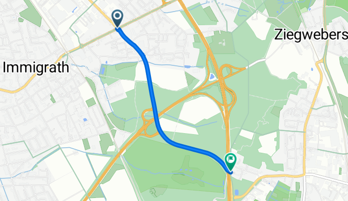
Radverkehrsnetz NRW, Rheinisch-Bergischer Kreis: Leichlingen → Langenfeld
Cycling route in Leichlingen, North Rhine-Westphalia, Germany
- 2.1 km
- Distance
- 19 m
- Ascent
- 3 m
- Descent

Radverkehrsnetz NRW, Overath - Untereschbach
Cycling route in Overath, North Rhine-Westphalia, Germany
- 7.6 km
- Distance
- 150 m
- Ascent
- 150 m
- Descent

Radverkehrsnetz NRW (Rheinisch-Bergischer Kreis): Lohmar – Overath
Cycling route in Lohmar, North Rhine-Westphalia, Germany
- 5.8 km
- Distance
- 72 m
- Ascent
- 121 m
- Descent