
Studenland–Töss Roman Route
Römer-Route Studenland–Töss
A collection of 4 cycling routes.
Overview
About this collection
This collection bundles sections of the Roman Route between Studenland and the Töss. The mix is tour-friendly: mostly asphalt and quiet side roads, plus some field and forest paths and short sections on busier roads. You roll comfortably through villages, open fields, and forest edges — enough variety without stress.
Bike choice: touring, trekking, or gravel bikes are ideal. Road bikes generally work too, but due to a few unpaved parts, some caution or a short detour is advisable.
Notes: occasionally, the route goes over streets with more traffic or through short pedestrian zones. After rain, natural paths can be soft. Bring lights and a bell and ride defensively — then it’s just plain fun.
Whether as a longer after-work ride or a weekend tour: plenty of peaceful kilometers, nice scenery, and occasional little adventures off the main roads.
- 4
- Routes
- -:--
- Duration
- 101.5 km
- Distance
- ---
- Avg. speed
- 1,039 m
- Ascent
- 1,049 m
- Descent
Römer-Route Studenland–Töss
Routes in this collection
All 4 routes in this collection can be opened on the map or in the Bikemap App for more details, where you can adjust them in the route planner, or download them as GPX or KML file. Use them as a template for planning your own rides, or let Bikemap navigate you along them directly.

Studenland–Töss-Römer-Route: Gaienhofen – Frauenfeld
Cycling route in Gaienhofen, Baden-Wurttemberg, Germany
- 16 km
- Distance
- 226 m
- Ascent
- 237 m
- Descent

Studenland–Töss-Römer-Route: Frauenfeld–Frauenfeld
Cycling route in Frauenfeld, Thurgau, Switzerland
- 2.1 km
- Distance
- 11 m
- Ascent
- 6 m
- Descent
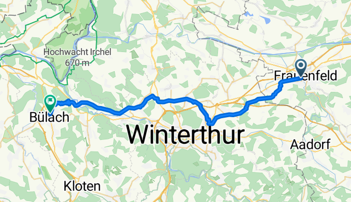
Studenland–Töss-Römer-Route: Frauenfeld to Bülach
Cycling route in Frauenfeld, Thurgau, Switzerland
- 34.8 km
- Distance
- 508 m
- Ascent
- 495 m
- Descent

Studenland–Töss-Römer-Route
Cycling route in Endingen, Canton of Aargau, Switzerland
- 48.6 km
- Distance
- 295 m
- Ascent
- 310 m
- Descent