
Regional Park Quellenreich Bike Route
Radroute Regionalpark Quellenreich
A collection of 3 cycling routes.
Overview
About this collection
Relaxed tour through greenery: The Regionalpark Quellenreich cycling route connects quiet stretches in open countryside with small village passages. The route mixes quiet roads, independent cycle paths, and field and forest trails; heavily trafficked sections are the exception. The surface is mostly asphalted or well stabilized, with short easy stretches – ideal for trekking and city bikes, and especially easy with an e-bike.
There are a few elevation meters, so slightly rolling rather than completely flat. Start wherever suits you – the loop can be flexibly included and ridden in both directions. Perfect for those who like variety: sometimes cycle path, sometimes country road, sometimes path through greenery.
Tip: Bring enough water and plan small breaks – the route invites relaxed stops by the roadside.
- 3
- Routes
- -:--
- Duration
- 44.1 km
- Distance
- ---
- Avg. speed
- 584 m
- Ascent
- 575 m
- Descent
Radroute Regionalpark Quellenreich
Routes in this collection
All 3 routes in this collection can be opened on the map or in the Bikemap App for more details, where you can adjust them in the route planner, or download them as GPX or KML file. Use them as a template for planning your own rides, or let Bikemap navigate you along them directly.

Radroute Regionalpark Quellenreich - Schleife Neumarkt i.d.OPf.
Cycling route in Neumarkt in der Oberpfalz, Bavaria, Germany
- 23.1 km
- Distance
- 322 m
- Ascent
- 327 m
- Descent

Radroute Regionalpark Quellenreich: Lauterhofen – Pilsach
Cycling route in Lauterhofen, Bavaria, Germany
- 12.5 km
- Distance
- 158 m
- Ascent
- 164 m
- Descent
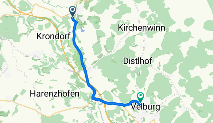
Radroute Regionalpark Quellenreich - Schleife Velburg
Cycling route in Velburg, Bavaria, Germany
- 8.5 km
- Distance
- 103 m
- Ascent
- 84 m
- Descent