
EuroVelo 1 - Atlantic Coast Route
EuroVelo 1 – Norway
A collection of 42 cycling routes.
Overview
About this collection
Cruise the Norway leg of EuroVelo 1 along the Atlantic coast—think fjords, islands, fishing villages, and endless sea views. Riding is mostly paved with a mix of cycleways and coastal roads, plus the odd gravel bit. Ferries are part of the journey (and the charm), giving you built‑in breaks with big scenery.
Traffic varies: plenty of quiet stretches, with busier links near towns. The terrain rolls, with some punchy climbs, but the views pay you back. Coastal weather changes fast, so bring layers and be ready for wind and rain. Summer means long days—midnight sun if you head far north—while spring and autumn are calmer but cooler.
These routes string together classic coastal highlights without overplanning: follow the shoreline, hop ferries, and aim for harbors, beaches, and viewpoints. Towns have regular services; between them, top up water and snacks.
Great for touring bikes with sturdy tires; e-bikes do well too. Lights help for tunnels, and it’s worth checking local rules for any bike restrictions. If you’re into sea air, lighthouses, and big horizons, this collection is a winner.
- 42
- Routes
- -:--
- Duration
- 3,706.9 km
- Distance
- ---
- Avg. speed
- 52,563 m
- Ascent
- 52,192 m
- Descent
EuroVelo 1 – Norway
Routes in this collection
All 42 routes in this collection can be opened on the map or in the Bikemap App for more details, where you can adjust them in the route planner, or download them as GPX or KML file. Use them as a template for planning your own rides, or let Bikemap navigate you along them directly.

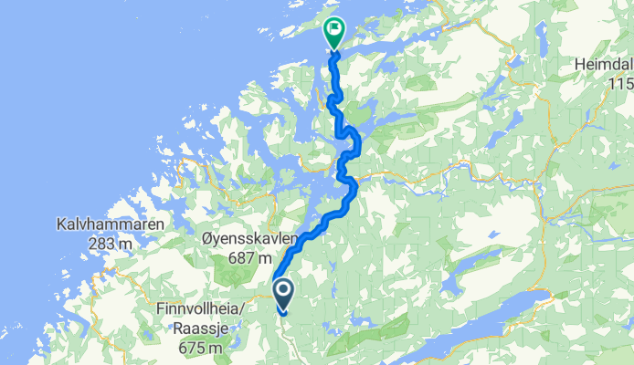
Nasjonal sykkelrute 1: Kyrksæterøra–Orkanger
Cycling route in Kyrksæterøra, Sør-Trøndelag Fylke, Norway
- 46.3 km
- Distance
- 1,266 m
- Ascent
- 1,135 m
- Descent

Nasjonal sykkelrute 1: Orkanger–Trondheim
Cycling route in Orkanger, Sør-Trøndelag Fylke, Norway
- 44 km
- Distance
- 593 m
- Ascent
- 626 m
- Descent

Nasjonal sykkelrute 1: Leksvik–Trondheim
Cycling route in Leksvik, Nord-Trøndelag Fylke, Norway
- 45 km
- Distance
- 377 m
- Ascent
- 338 m
- Descent

Nasjonal sykkelrute 1: Leksvik–Leksvik
Cycling route in Leksvik, Nord-Trøndelag Fylke, Norway
- 15 km
- Distance
- 422 m
- Ascent
- 216 m
- Descent

Nasjonal sykkelrute 1: Straumen – Leksvik
Cycling route in Straumen, Nord-Trøndelag Fylke, Norway
- 38.2 km
- Distance
- 403 m
- Ascent
- 631 m
- Descent

Nasjonal sykkelrute 1: Namdalseid–Straumen
Cycling route in Namdalseid, Nord-Trøndelag Fylke, Norway
- 65.9 km
- Distance
- 673 m
- Ascent
- 639 m
- Descent
Nasjonal sykkelrute 1: Jøa–Namdalseid
Cycling route in Jøa, Nord-Trøndelag Fylke, Norway
- 79.3 km
- Distance
- 1,212 m
- Ascent
- 1,237 m
- Descent

Nasjonal sykkelrute 1: Leknes (Leka) – Jøa
Cycling route in Leknes, Nord-Trøndelag Fylke, Norway
- 58.6 km
- Distance
- 869 m
- Ascent
- 867 m
- Descent

Nasjonal sykkelrute 1: Terråk–Leknes
Cycling route in Terråk, Nordland, Norway
- 20.6 km
- Distance
- 440 m
- Ascent
- 458 m
- Descent

Nasjonal sykkelrute 1 (Brønnøysund–Bodø): Terråk – Vik
Cycling route in Terråk, Nordland, Norway
- 39.8 km
- Distance
- 500 m
- Ascent
- 489 m
- Descent

Nasjonal sykkelrute 1: Vik – Sandnessjøen
Cycling route in Vik, Nordland, Norway
- 112.2 km
- Distance
- 855 m
- Ascent
- 793 m
- Descent

Nasjonal sykkelrute 1 (Brønnøysund–Bodø)
- 23.1 km
- Distance
- 225 m
- Ascent
- 281 m
- Descent